
Exploring the Historical Context of Gordon’s Calvary Map
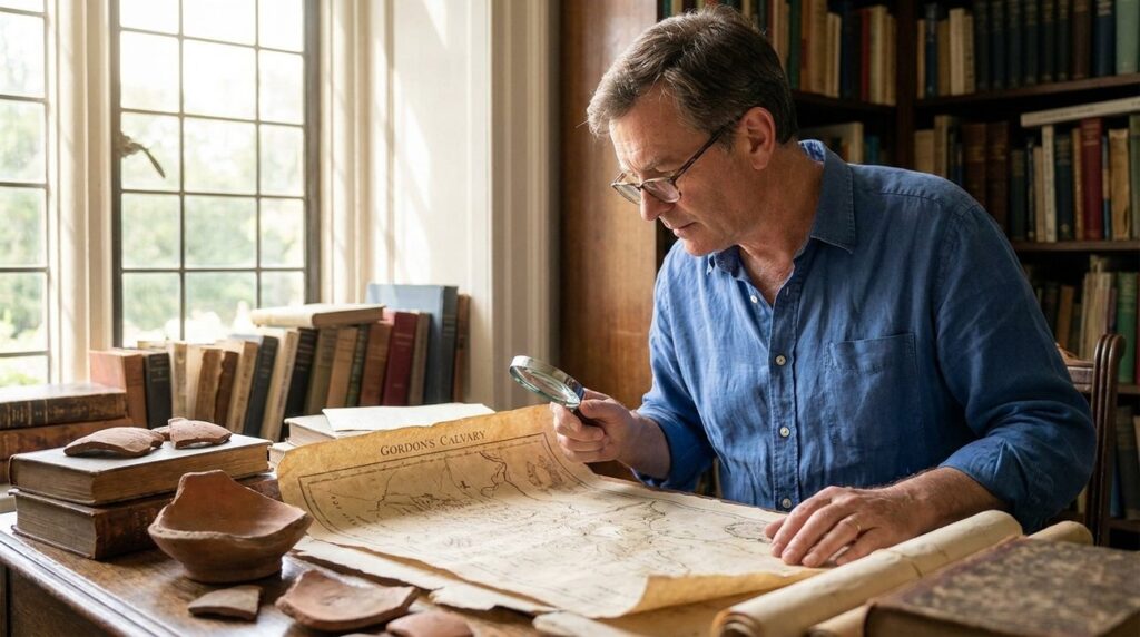

Gordon’s Calvary map illustrates an area outside Jerusalem’s old city. In the late 19th century, there was interest in identifying historical locations. This map was part of these explorations, focusing on how the landscape might align with historical events.
The map integrates terrain features with historical records, aiding in understanding the region’s geographical context.
from the Western Wall to Masada.
Overview of Gordon’s Calvary
Discovered by General Charles Gordon in the 19th century, the site is notable for its geographical features. Gordon’s identification is considered important in historical studies, according to historians.
A prominent feature is a rock formation resembling a skull, which has sparked discussions about its historical relevance.
Who Was General Charles Gordon?
General Charles Gordon, a British Army officer with an interest in history, identified the site now known as Gordon’s Calvary. His work contributes to the study of the area.
According to historical accounts, Gordon’s explorations extended beyond Jerusalem, connecting narratives to geographical places.

Features of the Map
The map highlights features Gordon believed matched historical accounts. A rock formation near Jerusalem was central to its identification, drawing interest from historians and archaeologists.
Created from detailed analysis in the late 19th century, the map continues to attract attention for its depiction of the area and potential historical implications.
Comparison with Other Sites
Gordon’s Calvary is distinctive due to its location and features. Its proximity to other historical sites has led to debates about its significance.
Nearby sites are often compared with Gordon’s Calvary, generating various opinions on their authenticity. These comparisons highlight challenges in interpreting historical sites.
from the Western Wall to Masada.

Historical Context of Discoveries
Gordon’s discovery occurred during a period of significant archaeological activity in the 19th century. Explorers were keen to connect sites with historical texts.
Modern Influence of Gordon’s Calvary
The site encourages reevaluation of site identifications, prompting scholars to explore and verify narratives. It opens possibilities for alternative interpretations and invites further study.
These discussions lead to continued academic and archaeological studies as researchers investigate sites like Gordon’s Calvary and refer to texts about Jerusalem’s ancient role.
Current Location and Significance
Located near Jerusalem’s Damascus Gate, Gordon’s Calvary attracts historians who examine its features and relevance.
The site intrigues history enthusiasts. Researchers analyze it, using texts that shed light on Jerusalem’s history and enhance understanding of the past.

Reflecting Historical Geography
The geography in Gordon’s Calvary map aligns with historical descriptions, offering insights into past perspectives. The map connects ancient texts with modern studies, providing a resource for historians and archaeologists.
The map’s depiction of Jerusalem’s landscape is a tool for historians and archaeologists, helping to visualize how ancient descriptions correspond with current geography.

General Queries