
Exploring Akrabbim: A Historical Landmark

Akrabbim is one of the fascinating names encountered within the historical landscape. Known also as the ‘Ascent of Scorpions,’ it holds historical and geographical significance.
The name itself suggests a challenging terrain, possibly infested with scorpions, which would have been a formidable obstacle for travelers. This article delves into its place in historical texts, its envisioned role as a boundary, and its standing today.
What Is Akrabbim?
Akrabbim refers to a steep ascent mentioned in several historical passages, notably as a boundary marker. It is described as part of the southern border of the land given to the Israelites.
It denotes the southern edge of the territory of Judah, serving as a geographical touchstone in historical narratives. This boundary was crucial for defining the inherited lands of the tribes, where detailed descriptions of borders emphasize the importance of land division.
from the Western Wall to Masada.
Where Is Akrabbim Located Today?
Today, the search for Akrabbim is centered around the Negev region. Archaeologists and historians are drawn to this area due to its rich historical connections and the potential to uncover more about early life in the region.
While its precise location remains a subject of archaeological exploration, it is believed to be near the modern-day Negev escarpment. This escarpment, a steep slope or long cliff, is a significant geological feature of the region, shaping the landscape much like Akrabbim did historically.
History of Akrabbim
Akrabbim played a significant role as a route in earlier times. It was a vital passage for those traversing the desert, connecting the southern regions to the heartland of Israel.
Used by traders and travelers, it was essential in the movement across the harsh desert terrain. This path connected the Negev region to the rest of Israel, facilitating trade and communication between different tribes and communities, enhancing cultural exchange and economic prosperity.
The strategic importance of Akrabbim is underscored by its mention in various historical texts, which highlight its role in the economic and cultural exchanges of the period. It served as a conduit for goods, ideas, and cultural practices. The route’s challenging conditions required travelers to be well-prepared, fostering a spirit of cooperation and mutual support among those who traversed it. This necessity for collaboration is a sign of the adaptability of ancient peoples.
Akrabbim in Historical Texts
Referred to in passages, Akrabbim delineates part of Israel’s boundaries. These boundaries were central to the identity and security of the Israelite tribes. It offers insight into the territorial limits acknowledged during the historical period.
This boundary, stretching from the Dead Sea to the Mediterranean, marked the southern edge of the land, reflecting the promise of land and security to the Israelites, a promise that shaped their national consciousness.
The significance of these boundaries is further explored in texts where they are described in detail to emphasize the importance of land inheritance and tribal identity. These boundaries were not just physical but also symbolic of promises. Understanding these ancient borders helps us appreciate the land’s legacy in contemporary cultural narratives, underscoring the deep connection between the people and their land.
Akrabbim: A Symbol of Boundaries
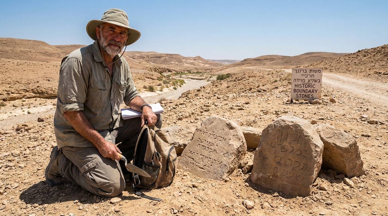
The depiction of Akrabbim extends beyond physical demarcation. It is mentioned as a boundary marker for the land of Israel, symbolizing not only geographical limits but also the communal boundaries of the people.
This area, known as Maale Akrabbim, or the “Ascent of the Scorpions,” highlights the challenges faced by the Israelites as they navigated their identity and territory. The ascent was a significant topographical feature, marking the transition from the desert to the settled land.
Symbolically, it represents limitations and defined spaces for the people of Israel. Akrabbim is mentioned as a boundary marker, illustrating its importance in delineating the land.
The name itself, Akrabbim, meaning “scorpions,” evokes the harshness and danger of the desert, reminding the Israelites of their perseverance and the importance of guidance in overcoming obstacles.
It serves as a metaphor for the trials and perseverance required to maintain their unity.
from the Western Wall to Masada.
Challenges of Identifying Akrabbim
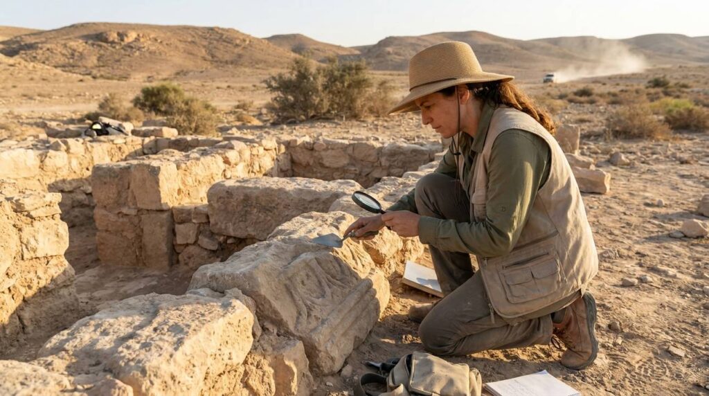
Archaeologists face challenges in identifying exact historical locations. The task involves piecing together clues from ancient texts and matching them with physical evidence from the land. Akrabbim’s location is based on textual interpretations and environmental features of the region.
The difficulty lies in correlating ancient descriptions with modern geography, as shifting landscapes and historical developments have altered the area’s appearance over time, complicating the identification process.
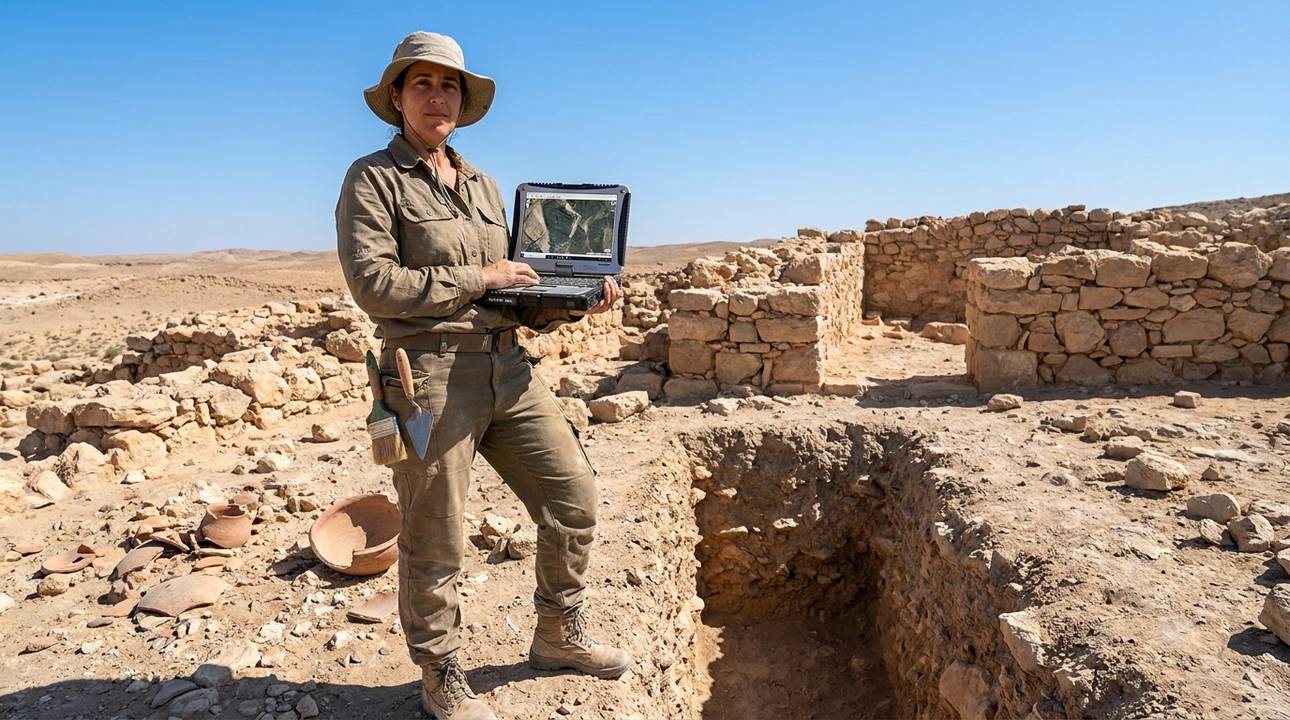
Despite these challenges, advances in technology and interdisciplinary studies offer new possibilities for pinpointing historical sites. Satellite imagery allows us to view large areas of land, revealing patterns invisible from the ground.
By combining traditional archaeological methods with modern tools like satellite imagery and geographic information systems (GIS), researchers can more accurately map the historical landscape, bringing us closer to understanding the world of the ancient peoples.
Modern Understanding of Akrabbim
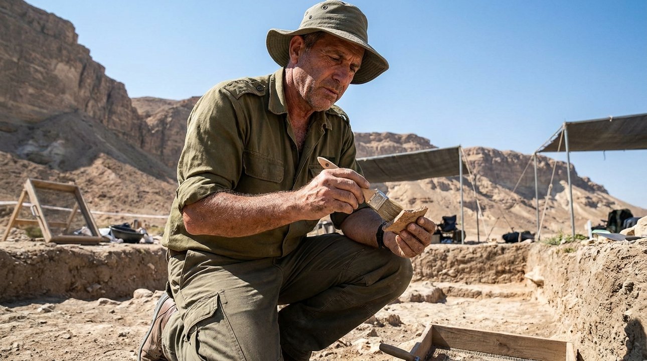
Contemporary scholars enrich our understanding through ongoing research. This research includes examining ancient maps, texts, and archaeological sites to piece together historical routes. This involves geological studies and historical analyses to shed light on historical routes.
By examining ancient texts and archaeological findings, researchers aim to reconstruct the paths taken by the Israelites and other ancient peoples, providing insights into their daily lives and journeys, revealing the interconnectedness of ancient societies.
Such research helps clarify the historical context of events, offering a deeper appreciation of the challenges faced by the Israelites. Scholars use geological and archaeological studies to reconstruct the environment and conditions of the time.
For instance, understanding the terrain and climate of Akrabbim enhances our comprehension of the narratives surrounding Israel’s desert wanderings and the significance of their eventual settlement. These insights bring the historical stories to life, making them more relatable and vivid.
Cultural Memory of Akrabbim
Akrabbim continues to hold a place in cultural narratives. Its history is preserved through academic studies and cultural discussions. Scholars reference it when exploring the historical landscapes that shaped Israelite history. Its legacy is preserved in Judaic studies and discussions focused on historical landscapes. Scholars and educators often reference Akrabbim when exploring the historical journey of the Israelites, emphasizing its role in shaping the shared history and identity of the Jewish people.
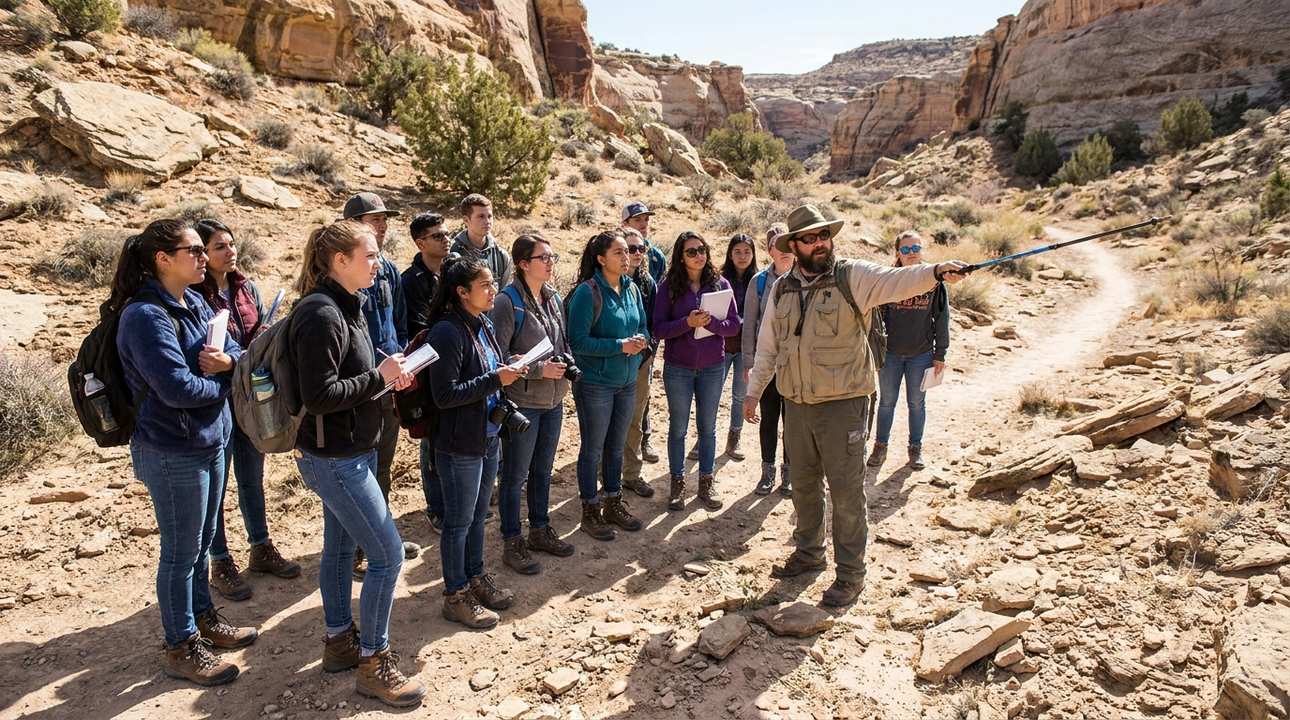
The region’s rugged terrain and history provide a backdrop for understanding the broader context of Israel’s history. The harshness of the landscape shaped the experiences and narratives of the people who lived there. In educational settings, Akrabbim is used as a case study to illustrate the interplay between geography and culture in the ancient world, highlighting how physical landscapes influenced narratives. This approach helps students grasp the tangible realities behind historical stories.
Understanding Akrabbim