
Wadi Qelt: Navigating Ancient Pathways
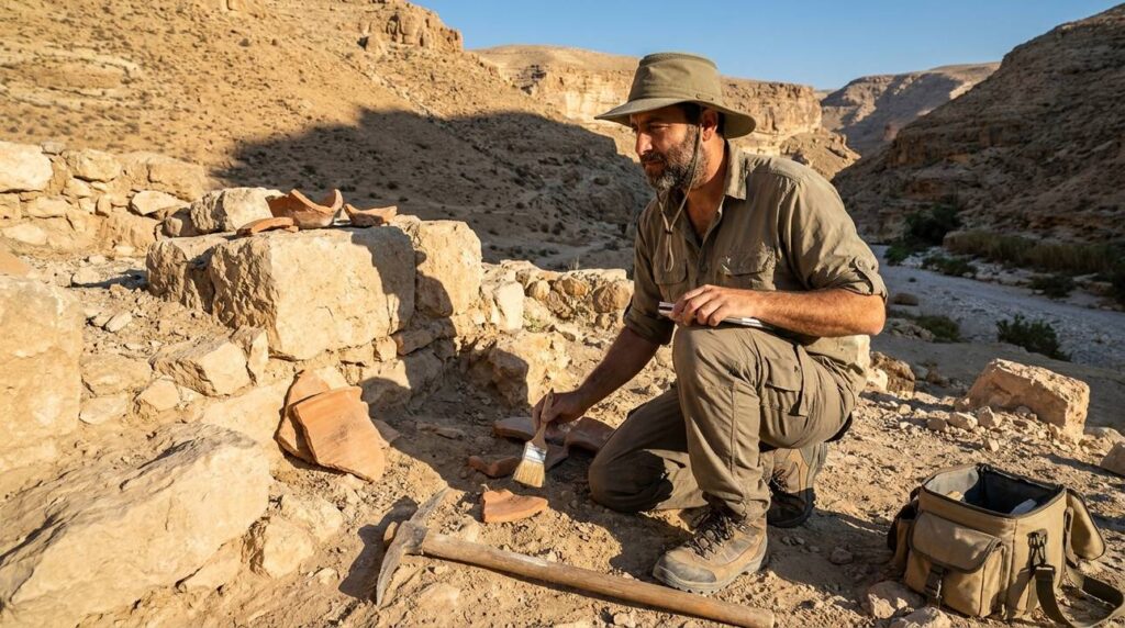

In dry, rocky landscapes, narrow valleys and gorges shaped how people moved, lived, and worked. This article looks at one such valley known in historical literature and field reports. The focus is on physical geography, visible remains on the ground, and descriptions that originate in older texts and survey work. Modern political terms and references have been removed so the reader can concentrate on ancient geography, archaeological evidence, and practical aspects of studying such places.
What Is Wadi Qelt?
This gorge is an example of a valley system with steep sides, seasonal water flow, and terraces carved into slopes. In earlier centuries these valleys often served as natural routes between higher settlements and lower plains. The channel, springs that appear at certain points, and narrow defiles required travelers to follow known tracks and to plan for water availability.
Archaeologists describe such places in simple terms. The valley floor and side ledges sometimes preserve footpaths, storage cisterns, and repairs to old routes. When written itineraries or classical descriptions mention passages through rugged land, scholars compare those texts with on-the-ground features to suggest how people moved in earlier times.
Geographical Significance of the Gorge
The gorge forms local microenvironments. Springs and small pools support patches of vegetation in contrast to the drier slopes nearby. These green pockets were important stopping places for people and animals on long journeys. Simple shelters and stone-lined cisterns near springs show how water determined where stops were made.
Layers of rock and soil in the valley record episodes of erosion and human work. Terraces cut into the slopes and repairs to masonry indicate repeated efforts to keep paths usable and to manage sudden runoff. Such features suggest adaptation over time rather than a single construction episode.
Historical Context
Names for valleys and passes can change through the centuries. Classical authors, travel lists used by merchants and pilgrims, and later monastic writings sometimes describe valleys that match the physical features found on the ground. Scholars carefully compare those written accounts with field observations and note points of uncertainty.
Archaeological finds such as pottery, building remains, and inscriptions help place activities in broad periods. Small installations, fragments of waterworks, and occasional defensive masonry appear in the record. Where direct dating is not possible, specialists use comparisons with similar, dated material to estimate an age range.
Historic Pathways Through the Valley
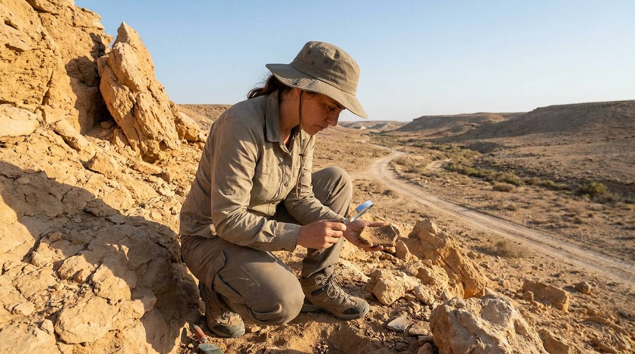
Paths in the gorge linked nearby settlements and provided predictable lines of movement for people, animals, and goods. Fieldwork records traces of trackways, occasional roadside installations, and short paved stretches or stone steps cut into the rock where the slope was steep. These simple constructions made travel safer in difficult sections.
Seasonal changes mattered. During wetter months the channel could carry flow and in dry times the valley floor was easier to cross. Travelers learned local patterns: where springs held water, which ledges were safest, and where temporary shelter could be found. Cisterns and small reservoirs helped store water and reduce the chance of an unexpected shortage.
Cultural Uses of the Gorge
The valley contains modest rock-cut features: cisterns for water, carved steps to aid ascent, and small living spaces carved into ledges. Some later, modest religious cells and chapels also appear in the record. These structures tend to be practical rather than grand and reflect daily needs and small communal life.
Late antique writings sometimes mention solitary dwellers in sheltered gorges and caves. When texts describe cliffside cells or communal refectories, archaeologists look for matching architectural traces on ledges and in narrow niches. Identifications are cautious; matches between text and feature are proposed only when several lines of evidence align.
The Valley’s Role in Earlier Times
The gorge shows how people repeatedly engaged with a challenging landscape. Builders used simple engineering: short aqueduct segments, carved channels, and stepped paths. Some construction styles resemble those common in Roman-period works, while others reflect techniques found in later centuries. Where datable items appear, they help fix a more precise time for particular structures.
A cliffside complex recorded in late antique sources is associated with the slope above the gorge. Early accounts describe modest cells, communal rooms, and small chapels. The surviving built remains include carved chambers on ledges and constructed spaces that used natural rock to save effort. Scholars view such sites as evidence of changing habitation and spiritual use in the late antique period.
Dating and Evidence
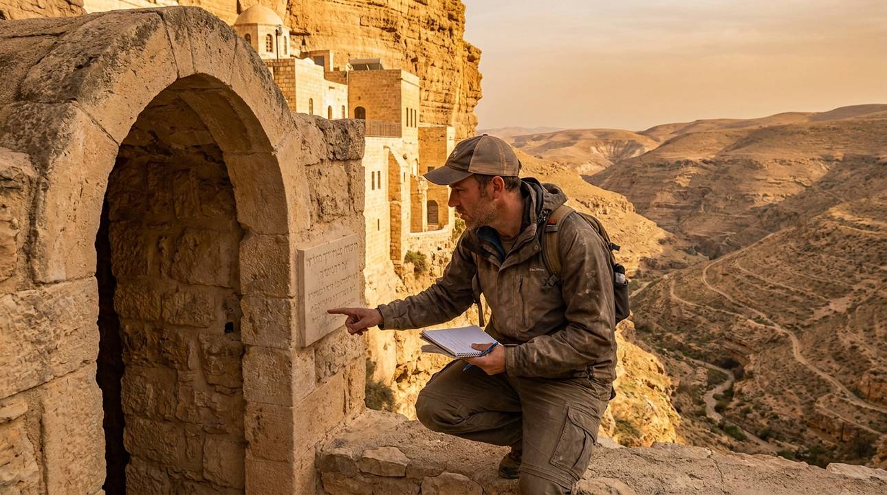
Dating features in the gorge uses several tools. Occasional inscriptions or coins give firm anchors. More often, pottery shapes and building methods provide relative dates. Specialists compare mortar types, stone-cut marks, and masonry patterns with better-studied sites to suggest likely periods for structures.
Surveys report stone tools, pottery sherds, and architectural fragments scattered across terraces and ledges. Stratified deposits—where lower layers contain older material and upper layers newer finds—help build a sequence of human activity. Published survey reports present these sequences and outline proposed occupation phases that often span classical into later centuries.
Practical Advice for Study and Careful Observation
Fieldwork on steep slopes needs preparation. Teams map paths and record water points before digging. Non-destructive methods help record features with minimal disturbance. For example, high-resolution photographs and careful measured drawings capture details of cut stone, steps, and ledges. Small unmanned aerial photographs can aid mapping of terraces and narrow tracks from a safe distance.
Researchers also consult older travel lists and descriptions. Comparing on-the-ground features with texts can suggest where a narrative reference matches a place. Authors always note uncertainties: ancient place-names shift and early descriptions are not always precise when read against the physical landscape.
Plants, Animals, and Water Use
Springs and run-off create pockets of vegetation that differ from the dryer slopes. Local plants adapted to intermittent water are common near springs and shaded ledges. For people moving through the valley, these plants provided forage and small-scale cultivation opportunities close to reliable water.
Stone-lined cisterns and diverted channels show that people planned for water scarcity. Small aqueduct fragments and cuts in the bedrock indicate efforts to move water to terraces or storage. These simple systems made seasonal life and travel more predictable over many years.
Conservation and Recording Practice
Protecting fragile rock-cut and masonry features calls for minimal intervention and thorough documentation. Measured drawings, clear photographs, and 3D models preserve the record of vulnerable features. Conservation work aims to keep original materials and only make repairs necessary to prevent collapse.
Publication standards encourage clear evidence and cautious interpretation. When claims about purpose or date are made, they should be tied to the material evidence. Where the evidence is thin, authors should state uncertainty and point to research that could improve understanding.
Further Reading and Practical Notes
Readers interested in valleys like this one should start with archaeological survey reports and peer-reviewed studies that include plans, artifact lists, and stratigraphic descriptions. The sources listed at the top of this article provide initial references. For deeper architectural detail, consult specialized excavation reports and monographs on ancient waterworks, terracing, and cliffside habitation.
Field notebooks and older narratives provide useful context. Ancient itineraries and early travel descriptions often contain the terms later scholars use when matching text and feature. Modern scholarship organizes those descriptions against field data, and it is best to consult the primary reports for precise maps and artifact records.
General Advice for Visitors and Researchers
When approaching historic gorges, plan for uneven ground and limited shade. Wear sturdy shoes, carry sufficient water, and choose times of day with cooler temperatures. Local spring flow is seasonal; do not rely on flowing water without confirmation from recent records or local guides working in heritage and natural sites.
Respect fragile features. Avoid climbing on ancient steps or entering small rock-cut chambers without permission. Documentation and reporting of new finds should follow professional practice: record location, take clear photographs, and contact appropriate specialists or archives for proper recording.
Research Methods Summary
Scholars combine surface survey, measured recording, and careful comparison with historical texts when studying valleys. High-quality photography, measured plans, and careful note-taking form the basis for later interpretation. When excavation is necessary, it proceeds from clear research questions and is guided by conservation needs.
Non-invasive recording is preferred whenever possible. Simple, clear methods reduce harm to sites and provide a reliable archive for future study. Where specialists use new imaging tools, they explain the methods and limitations so others can reproduce results or test alternative readings.
Summary
This gorge is a clear example of how natural features and simple human works shaped movement and settlement in earlier times. Springs, cut steps, terraces, and small waterworks made the valley usable and sustained short-lived occupations and seasonal stops. The combination of archaeological fieldwork and careful reading of earlier texts helps reconstruct the valley’s long history, while cautious interpretation keeps claims tied to evidence.
For those seeking detailed technical diagrams, the cited sources and survey publications are the best next step. They provide maps, artifact catalogs, and stratigraphic sections that support the broader points made here.
Further Reading and Sources
Consult the linked sources for starting references. For focused architectural or ceramic studies, seek peer-reviewed excavation reports and monographs. Field reports with measured plans and catalogs remain the most reliable basis for local chronological and functional claims.
Wadi Qelt FAQs
