
Kiryat Gat Area Guide
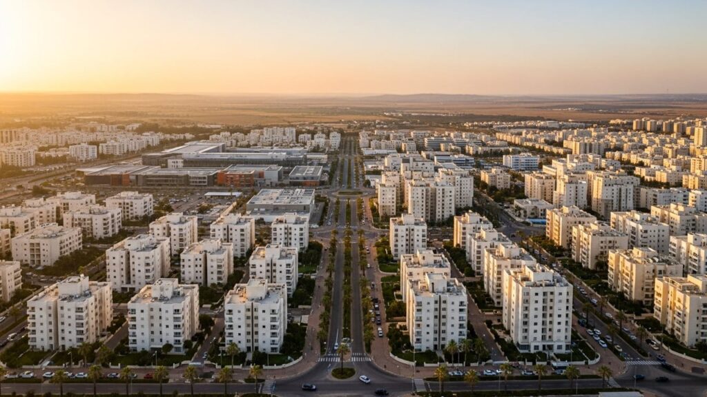

Kiryat Gat is a development town in the Southern District of Israel with a mix of suburban neighbourhoods, industrial areas and nearby archaeological sites. This guide outlines what it’s like to live there, covering history, transport, schools and local amenities.
Kiryat Gat at a Glance
City: Kiryat Gat • Country: Israel • District: Southern • Population: 63386 • Area: 17.102 • Nearest major city: Ashkelon • Distance: 24 • Main transport connection: Road: Highways 40 and 6; Rail: Kiryat Gat railway station; regional bus services • Known for: High-tech and semiconductor manufacturing (Intel fabs), Rabin industrial zone, association with ancient Gath • Historic origins: Modern town founded 1954 as a ma’abara and development town; site lies in the Lachish region with ancient Philistine‑period associations (early identification with biblical Gath via Tel Erani later revised)
Insider's Guide to Israel
and can't-miss places most tourists never find.

Where Is Kiryat Gat?
Kiryat Gat sits in Israel’s Southern District on the Judaean/Shfela plain in the Lachish region, an area of agricultural land and rolling low hills. The city is positioned between larger urban centres and the Negev, providing regional access without being a coastal settlement.
Neighbouring towns and cities include Ashkelon to the west (approximately 24 km), Kiryat Malakhi to the north (around 13 km) and Ashdod and Be’er Sheva within regional driving distance. The city’s geographic setting is primarily the Mediterranean/semi‑arid transition of the Lachish plain.
History of Kiryat Gat
The modern town of Kiryat Gat was founded in 1954 as a ma’abara (transit camp) and development town and later achieved municipal city status in 1972. Its modern history is shaped by state‑era settlement and industrial development in the late 20th century.
The area has older layers of human activity: Tel Erani (Tell esh‑Sheikh Ahmed el‑Areini) near the city was for a time associated with the biblical Philistine city of Gath, which established the name. Later research favors Tel es‑Safi, about 13 km to the north‑east, as a primary candidate for Gath, but the Lachish region retains Philistine‑period archaeological importance.
Before the modern town, the region’s landscape included Ottoman‑era rural villages and in the British Mandate and 1948 periods places such as Iraq al‑Manshiyya / Al‑Faluja are part of the local historical record. The city’s contemporary form emerged after 1948 with the establishment of new Israeli towns and communities.
Kiryat Gat Population
As of 2022 the population of Kiryat Gat was 63,386. That figure reflects the city’s development from a small mid‑20th century settlement into a mid‑sized municipality in the Southern District.
The population scale places Kiryat Gat among the region’s significant towns though it is smaller than major coastal and regional centres. Since its founding in 1954 the urban area has expanded in both residential and industrial terms.
What Is It Like to Live in Kiryat Gat?
Life in Kiryat Gat tends toward a suburban, community‑oriented pace with a range of basic services and local amenities. The city combines residential neighbourhoods, industrial zones and access to outdoor areas in the surrounding Lachish plain.
Infrastructure includes municipal services, local healthcare provision and a municipal education network. For specialist services and some higher‑level healthcare or cultural facilities residents often travel to larger regional centres such as Be’er Sheva or Ashkelon.
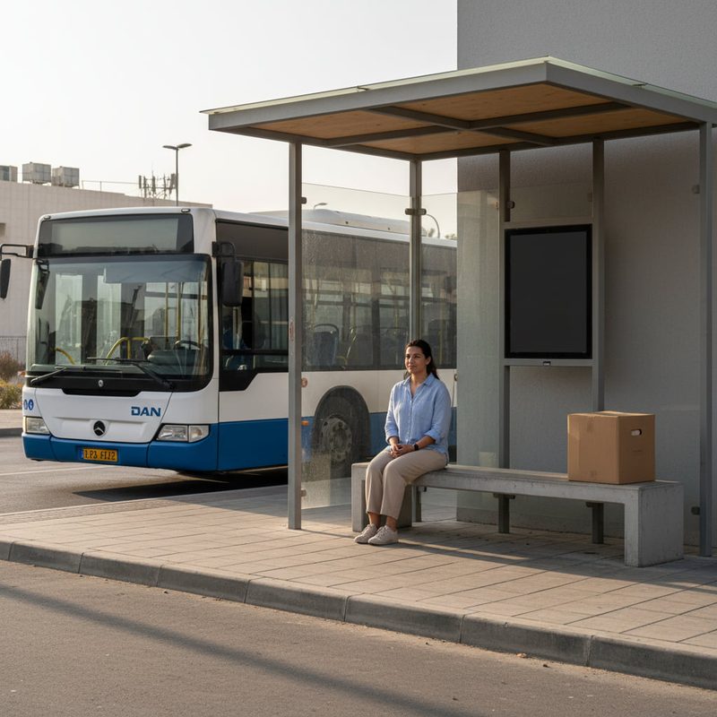
Transport links are practical: Kiryat Gat has a railway station with intercity connections, regular regional bus services and road access via Highways 40 and 6. These connections make commuting and regional travel straightforward, though travel times depend on traffic and destination.
The area suits families looking for space and privacy, people who work in industry or high‑tech manufacturing locally, and residents who value regional access without living in a major metropolitan core.
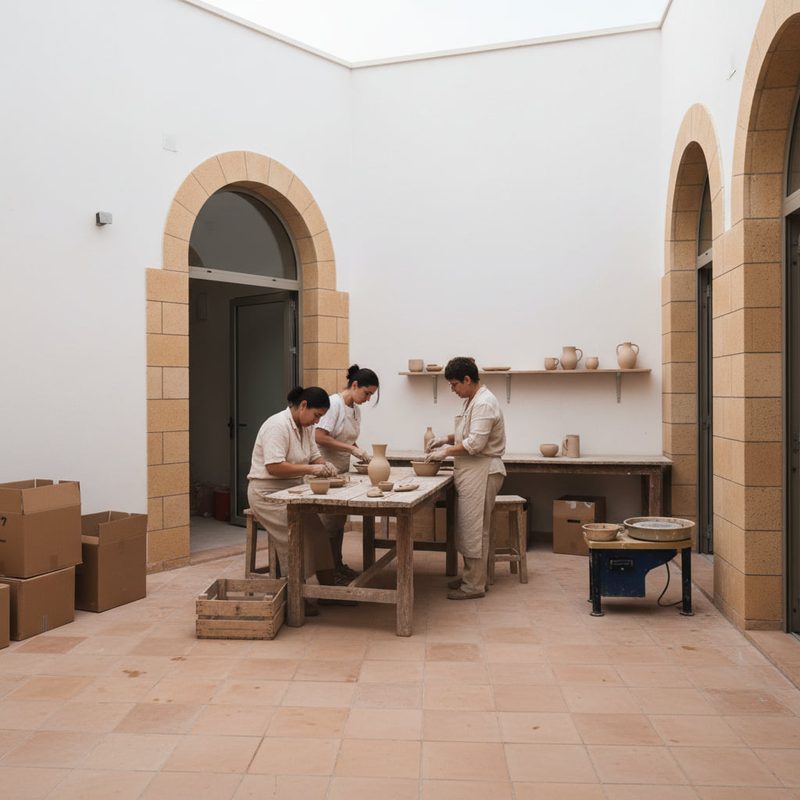
Areas and Neighbourhoods in Kiryat Gat
Kiryat Gat is structured around a number of residential neighbourhoods and an industrial zone. The city includes older and newer housing areas, as well as the Rabin industrial zone where much of the local employment and manufacturing activity is concentrated.
Carmei Gat
Carmei Gat is one of the residential neighbourhoods noted in local property listings for having more spacious homes. It is associated with detached houses and family‑sized properties.
Transport access is similar to other parts of the city, relying on local roads with connections to the main highways and public transport links. The neighbourhood suits families and long‑term buyers seeking space and a suburban setting.
Rabin Industrial Zone (אזור תעשייה רבין)
The Rabin industrial zone is the city’s principal commercial and manufacturing area and includes high‑tech and semiconductor plants that define much of Kiryat Gat’s economic profile.
This area is primarily industrial rather than residential; it provides major local employment and benefits those working in manufacturing, logistics and related services. Public transport and road links serve shift patterns and commuting needs.
Paz neighborhood (שכונת פז)
The Paz neighbourhood is one of the city’s residential districts referenced in municipal planning and property data. Housing types range across apartments and modest family homes.
It is typical of development‑town neighbourhoods with access to local services and schooling. The area is suitable for households seeking affordable family accommodation with local amenities nearby.
Ramot David (רמות דוד)
Ramot David is included among the city’s neighbourhood names and represents another residential quarter offering a mix of housing forms and local community facilities.
Residents rely on the municipal network of schools and local services. The neighbourhood fits those wanting straightforward access to the city’s central areas and to nearby nature or agricultural landscapes.
Kiryat Gat West (קריית גת מערב)
Kiryat Gat West refers to the western sector of the city and contains residential streets and community amenities. It is part of the broader urban fabric rather than a distinct enclave.
Housing and transport here are typical of the municipal pattern: a suburban layout, reachable by local roads and public buses, and convenient for residents who commute to the industrial zones or regional centres.
Education in Kiryat Gat
The city maintains a municipal education network that includes multiple elementary and secondary schools; municipal planning documents reference on the order of ~35 schools and roughly 180 kindergartens. Local provision covers state secular, state religious and other municipal frameworks typical of Israeli education systems.
Bagrut (matriculation) eligibility in recent reporting is around the mid‑60s percent, with a figure near 66.6% reported for 2023–24. For higher education, students commonly travel to nearby regional universities and colleges, with Be’er Sheva serving as the closest major university hub offering a range of academic and professional programmes.
Transport and Connectivity
Kiryat Gat is served by the Kiryat Gat railway station with direct Israel Railways intercity services to Tel Aviv; trains run approximately hourly with typical journey times to Tel Aviv of about 48–55 minutes depending on the route and destination. The station is a central element of the city’s regional connectivity.
Insider's Guide to Israel
and can't-miss places most tourists never find.
By road, the city connects to the national network via Highways 40 and 6, providing direct driving routes north and south. The road distance to Tel Aviv is roughly 52–56 km and driving time is typically about 50–65 minutes depending on traffic.
Regional and intercity bus operators (Dan BaDarom, Metropoline, Egged) serve Kiryat Gat with frequent routes to Ashkelon, Ashdod, Be’er Sheva and services toward Tel Aviv and Ben Gurion Airport. Ben Gurion Airport lies approximately 55 km from the city.
For most daily needs within the city, a car is convenient, but regular public transport services mean some residents commute without a private vehicle, particularly when using the rail link for longer journeys.
Nature and Outdoor Spaces
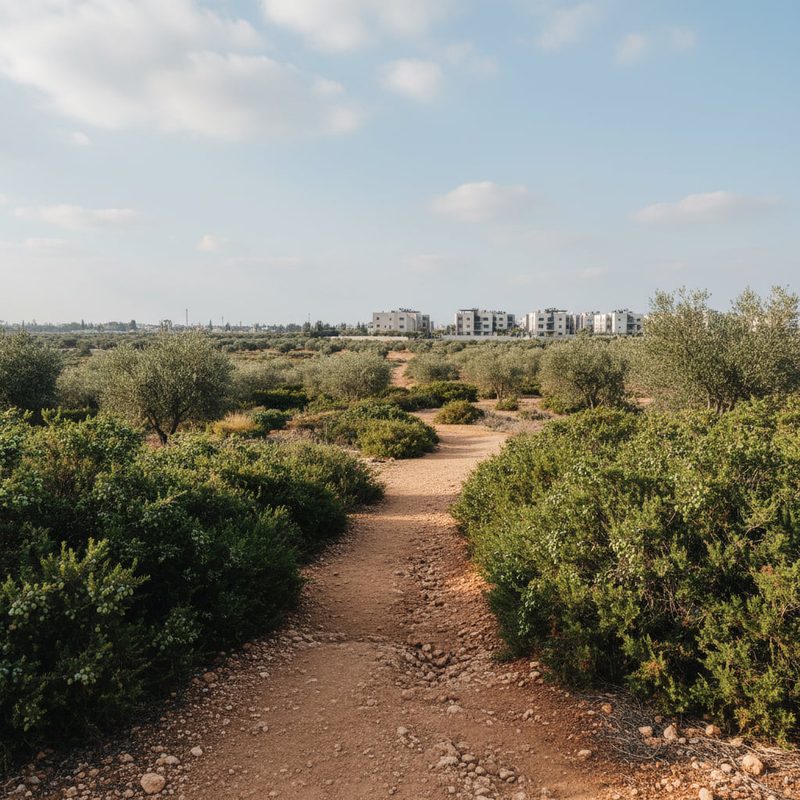
Kiryat Gat sits on the Lachish plain of the Judaean/Shfela landscape; the surrounding area includes agricultural land and open spaces typical of the Mediterranean/semi‑arid transition zone. Nearby archaeological sites such as Tel Erani and the Tel es‑Safi area offer both historical interest and outdoor exploration opportunities.
Local parks and green areas within the municipal boundary provide family‑friendly outdoor space, while the surrounding countryside supports weekend recreation, walking and low‑intensity outdoor pursuits. The climate is Mediterranean to semi‑arid, which shapes the seasonal patterns for outdoor activities.

Amenities and Things to Do in Kiryat Gat
Kiryat Gat’s amenities include local shopping centres, restaurants and markets that service day‑to‑day needs, with expanded retail and medical options available in nearby larger cities. The municipal services and community centres support local cultural and sporting activities.
Healthcare services are available in the city with more specialised care accessible in Be’er Sheva and Ashkelon. Sports facilities and municipal leisure offerings cater to families and youth programmes.
Notable local places include the Tel Erani archaeological site, the nearby Tel es‑Safi area of archaeological interest, the Rabin industrial zone and the prominent Intel semiconductor fabrication facilities located in the city’s industrial areas. These industrial employers are significant both for the local economy and for visitor interest in the city’s modern industrial profile.
Cities and Towns Near Kiryat Gat
Kiryat Gat is within a short to moderate driving distance of several regional cities, making those centres practical for shopping, specialised services and employment beyond the city itself.
Nearby cities and towns: Ashkelon — 24 km, approx. 22 min; Kiryat Malakhi — 13 km, approx. 15 min; Ashdod — 32 km, approx. 33 min; Be’er Sheva — 46 km, approx. 41 min; Tel Aviv — 52 km, approx. 60 min.
Advantages of Living in Kiryat Gat
Practical regional location: Good road and rail links connect the city to major centres such as Ashkelon and Tel Aviv.
Employment opportunities: The Rabin industrial zone and high‑tech manufacturing, including semiconductor fabs, provide local jobs in industry and technology.
Suburban living and space: Residential neighbourhoods offer more space and privacy compared with dense urban cores.
Access to nature and heritage: Proximity to archaeological sites and the agricultural Lachish plain offers outdoor activities and historical interest.
Education network: A municipal school system with substantial kindergarten provision and multiple schools supports families locally.
Things to Consider Before Moving to Kiryat Gat
Limited local specialised services: For certain specialist healthcare, cultural institutions and higher education facilities residents often travel to Be’er Sheva, Ashkelon or other regional centres.
Local entertainment options are more limited than in larger coastal or metropolitan cities, so social and cultural life may involve regular travel outside the city.
Economic concentration: While industrial employment is a strength, the local economy is significantly tied to a handful of large employers and the industrial zone, which can influence labour market dynamics.
Who Is Kiryat Gat Best For?
Families
Families benefit from the city’s suburban neighbourhoods, municipal schools and local community services, along with more generous living space than many urban cores.
Commuters
Commuters who travel to regional centres or to Tel Aviv can use the rail service and the road connections via Highways 40 and 6; travel times depend on destination and traffic conditions.
Young Professionals
Young professionals working in the high‑tech and manufacturing sectors may find local employment opportunities, particularly in the Rabin industrial zone and at semiconductor facilities.
Students
Students attending regional colleges and universities commonly rely on transport links to Be’er Sheva and other educational hubs; local secondary education is provided through the municipal school system.
