Lev Haolam logo – Israel gift box company
Join now
Lev Haolam
  • Home
  • To The Top
  • Who We Are?
  • How It Work
  • Membership
  • Our Boxes
  • Testimonials
  • FAQ
  • Blog
    • Articles
    • Recipes
    • Gift Boxes
  • Career
Log In
Join now
Log In
Join now
  1. Home
  2. Blog
  3. Cities

Cities

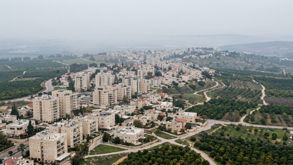
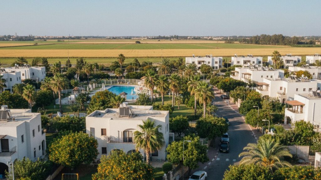
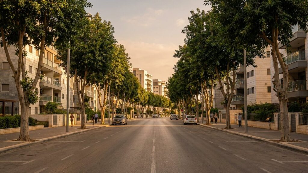
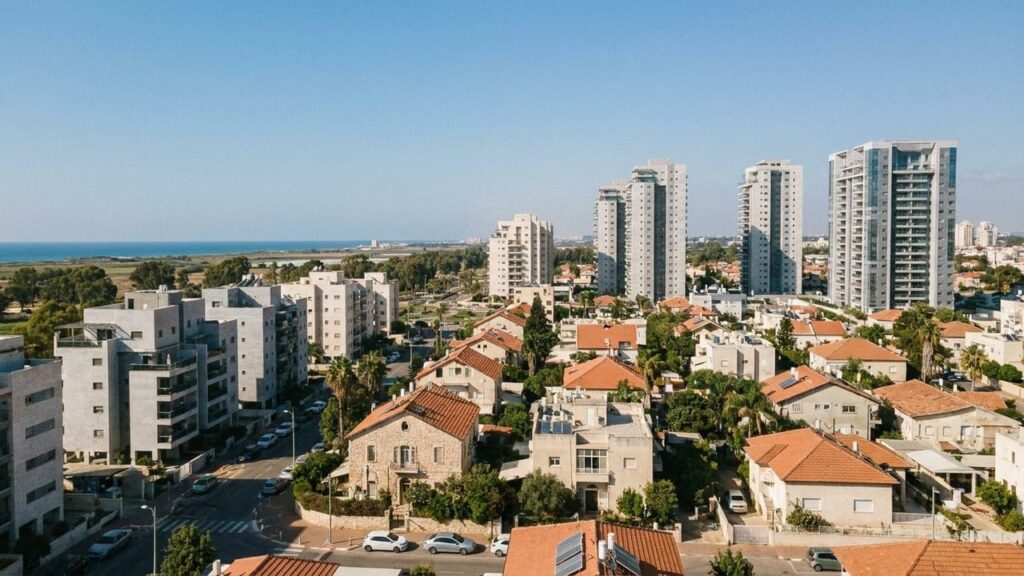
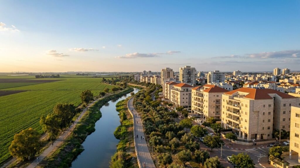
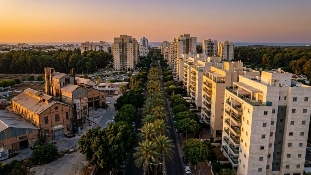
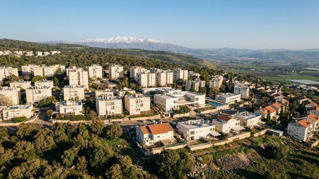
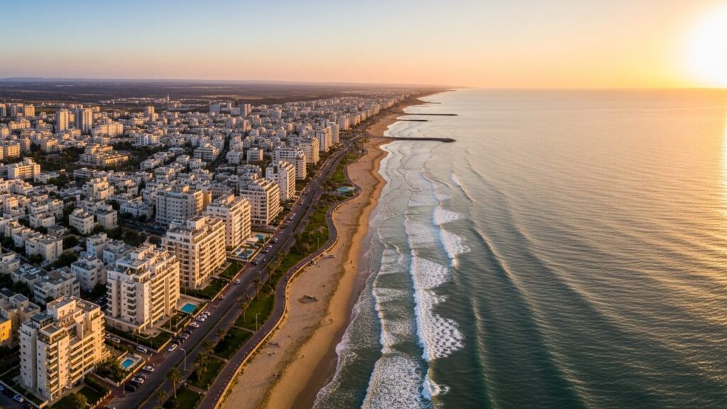
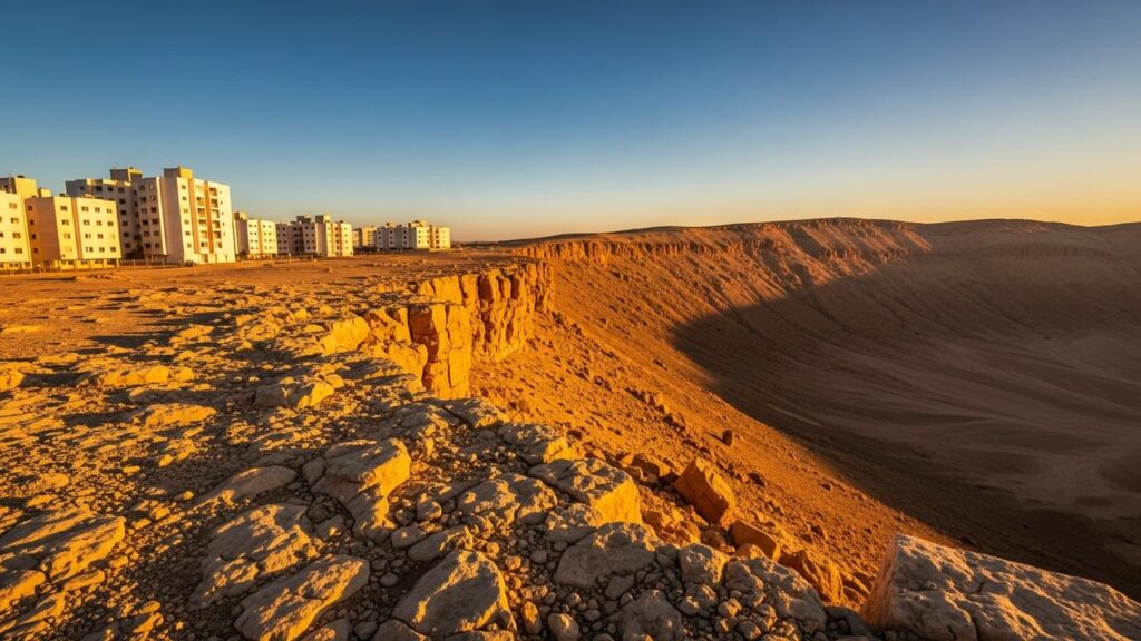
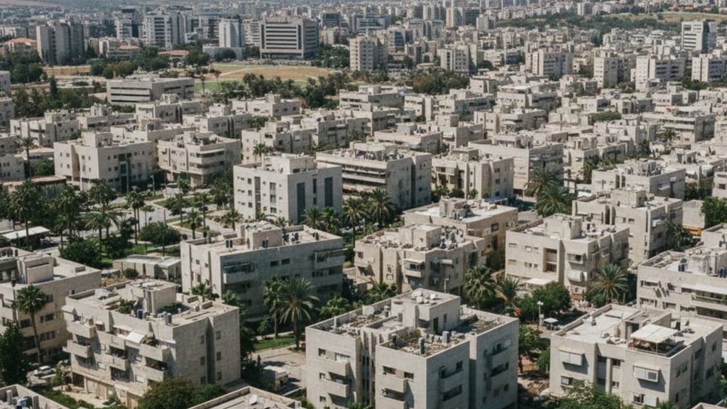
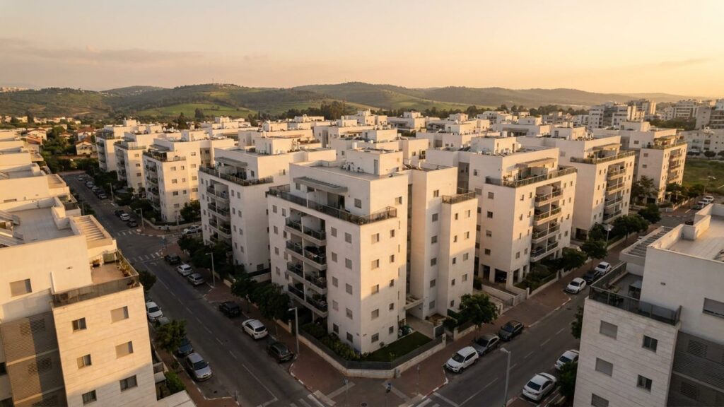
View of El'ad in Israel

El’ad Area Guide

El’ad at a Glance City: El’ad • Country: Israel • District: Central District • Population: 49766 • Area: 2.756 km² • Nearest major city: Tel Aviv • Distance: 25 km • Main transport connection: Route 444 with regional bus services; nearest rail access via Rosh HaAyin–North (Israel Railways) • Known for: Planned Haredi/religious municipality with rapid population growth and larger-than-average household sizes • Historic origins: The modern town was founded in 1998; the site lies within the historic Lod (Lydda) sub-district and was later the location of the Arab village al‑Muzayriʿa in the 18th–19th centuries; the name El’ad is biblical...

Show more
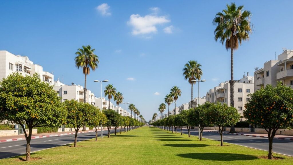
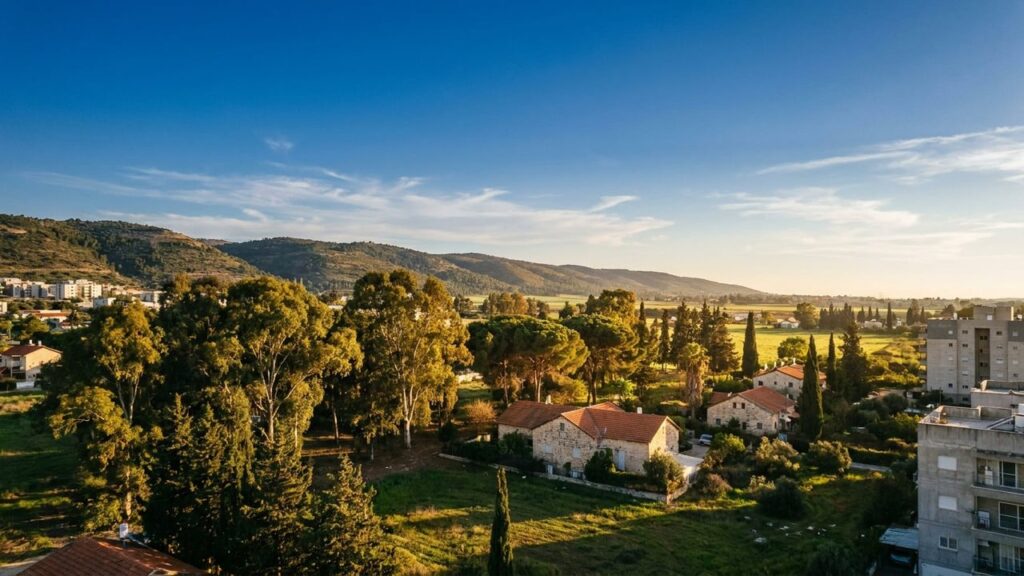
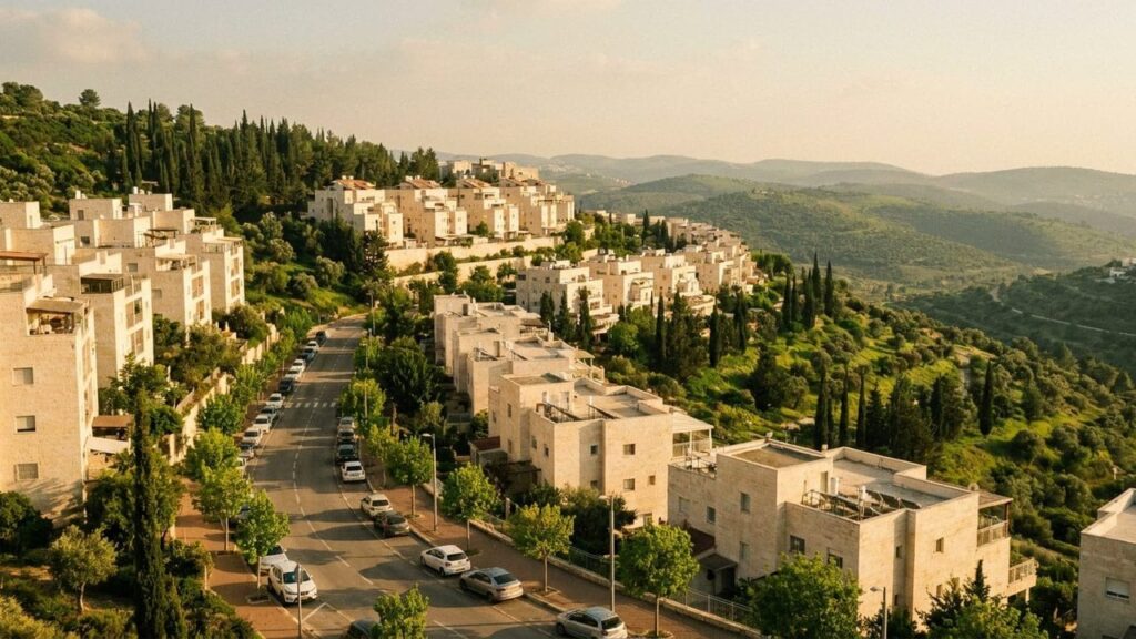
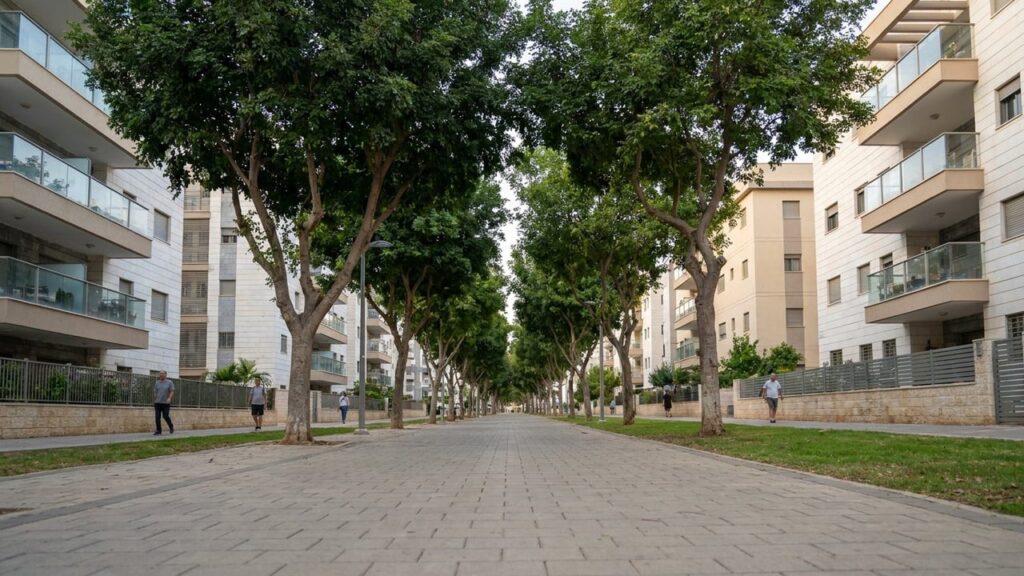
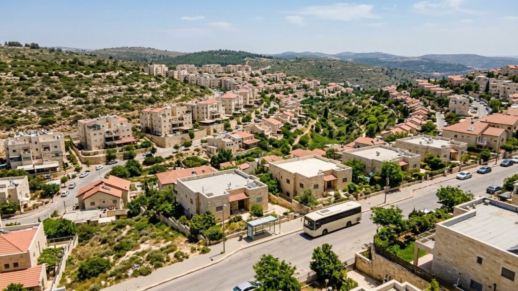
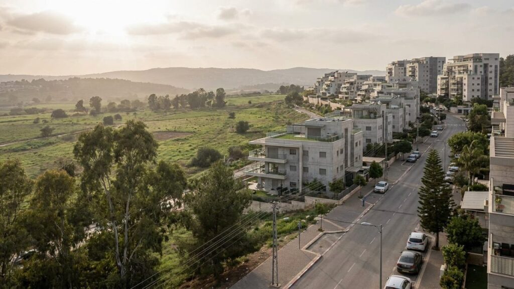
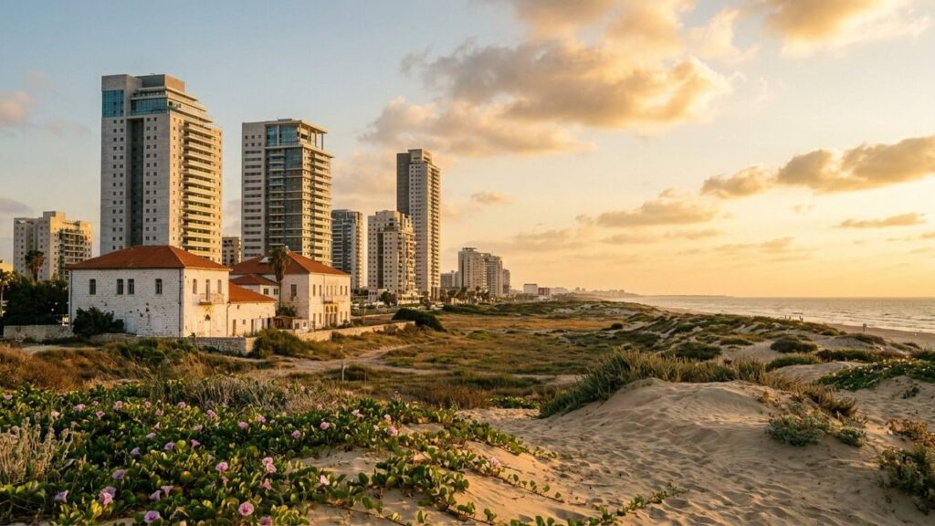
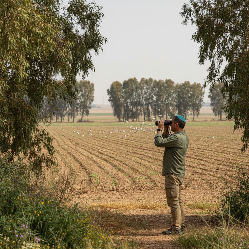
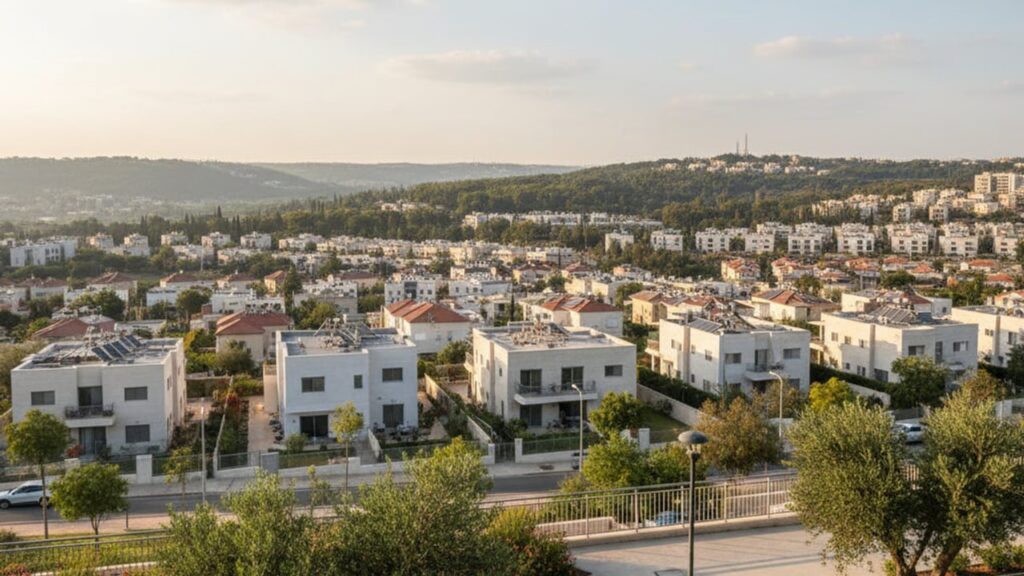
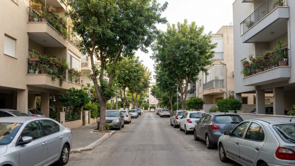
View of Kiryat Ekron in Israel

Kiryat Ekron Area Guide

Kiryat Ekron at a Glance City: Kiryat Ekron • Country: Israel • District: Central District • Population: 11,283 (2024) • Area: about 2.3 km² • Nearest major city: Rehovot (nearby regional centre) • Distance: about 4 km • Main transport connection: Road: Route 411, Bilu Junction and Highway 40; served by regional buses; nearest railway access via Rehovot station • Known for: Bilu Centre retail area, Bilu Junction, proximity to the archaeological site known as Tel Miqne (Ekron) • Historic origins: Named for the biblical city of Ekron; the nearby Tel Miqne (Ekron) site contains important ancient remains that have...
Show more
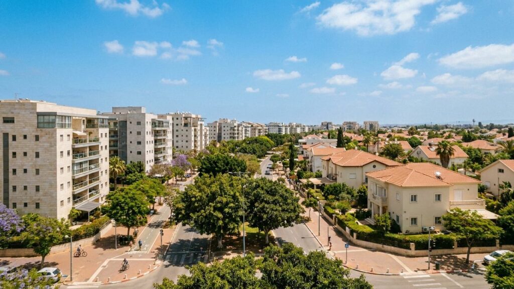
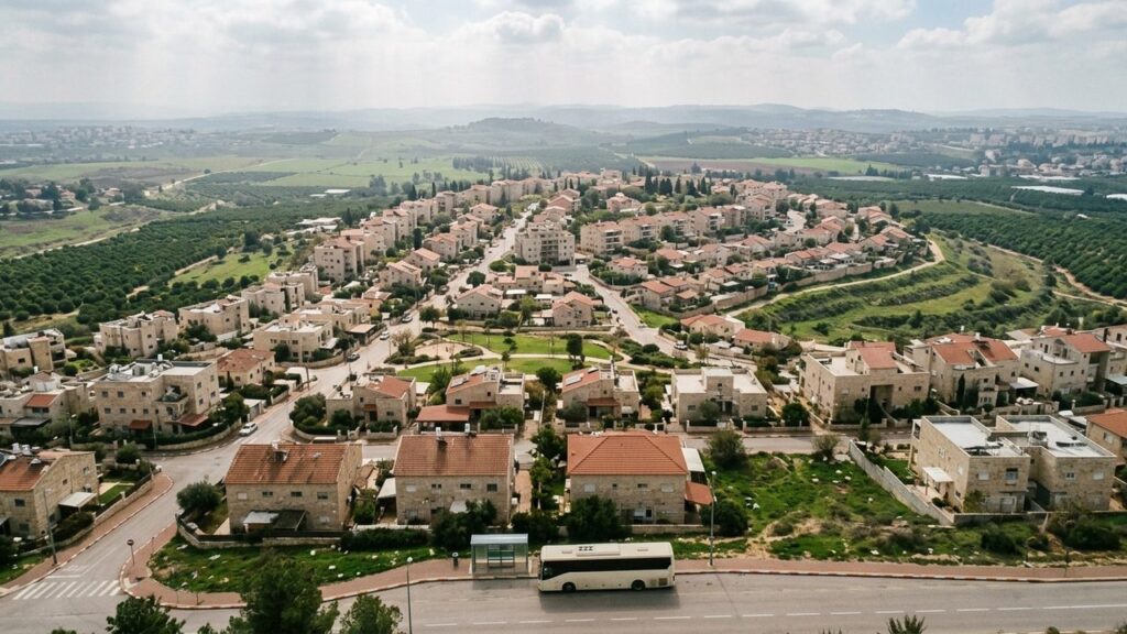
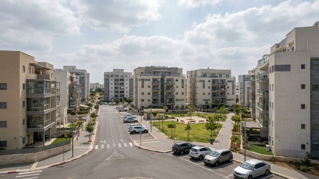
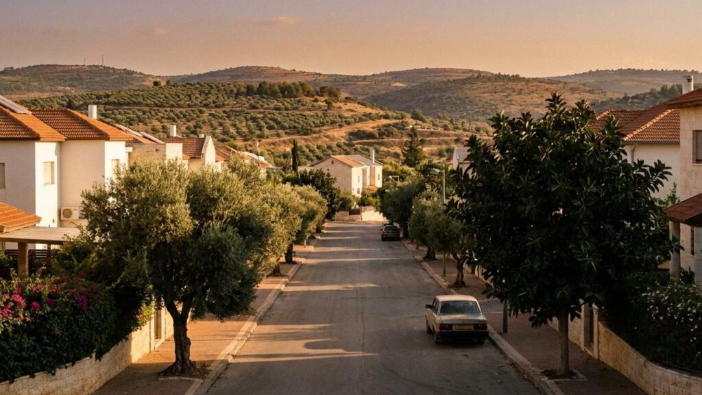
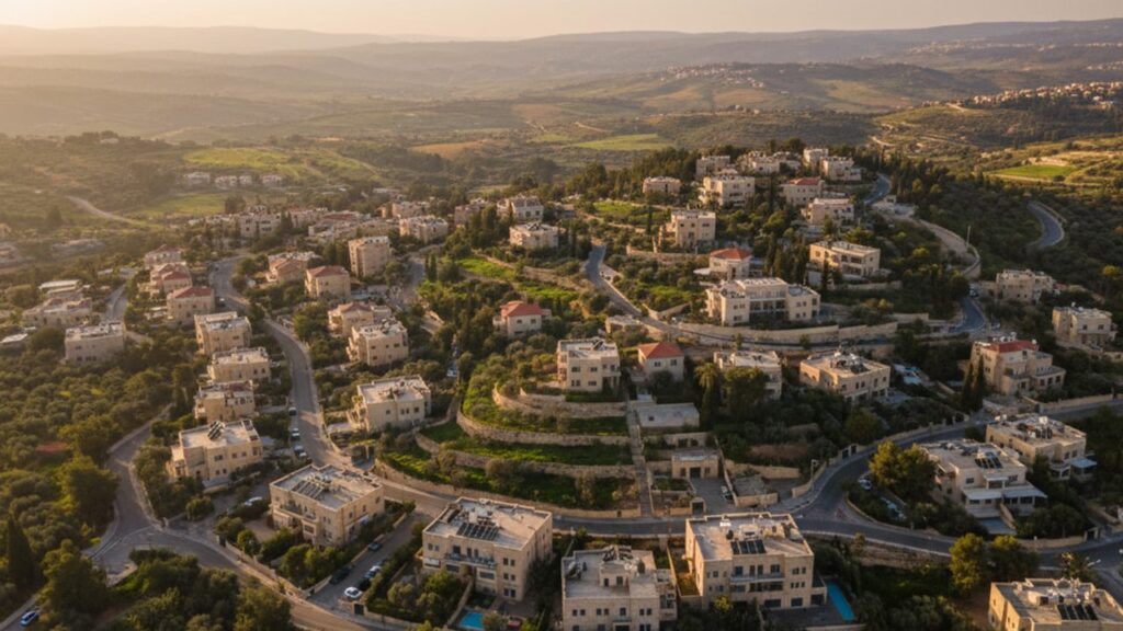
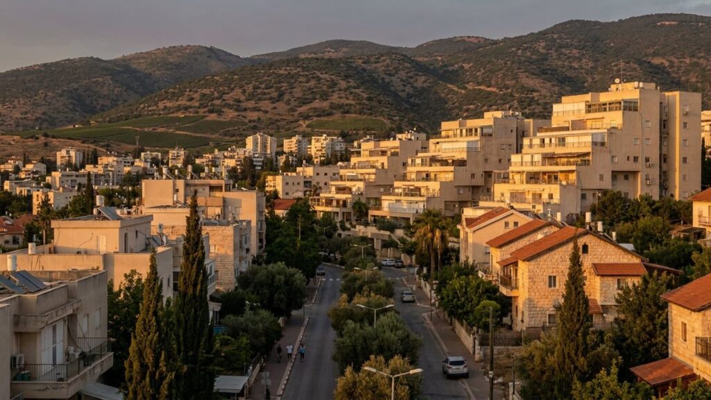
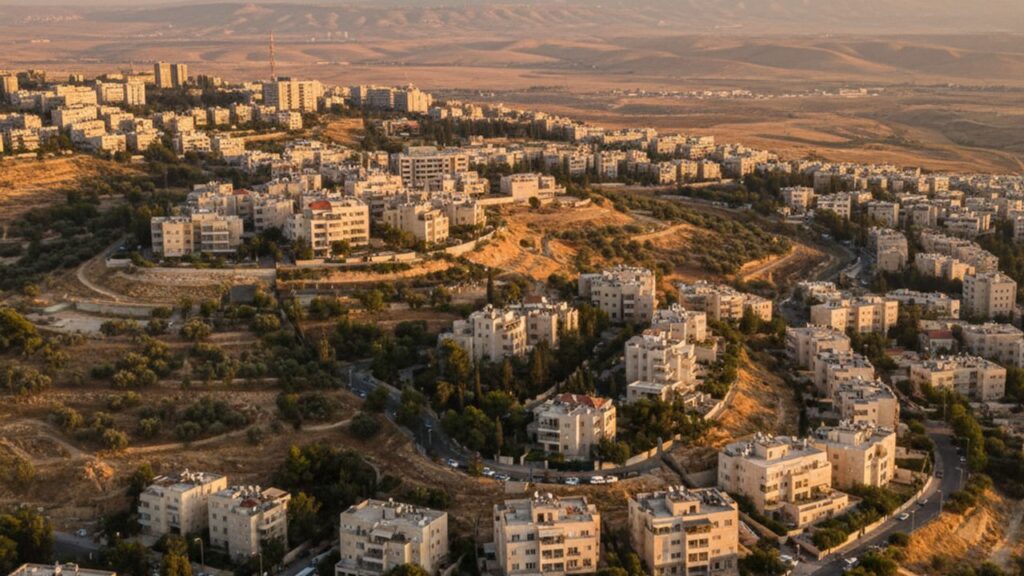
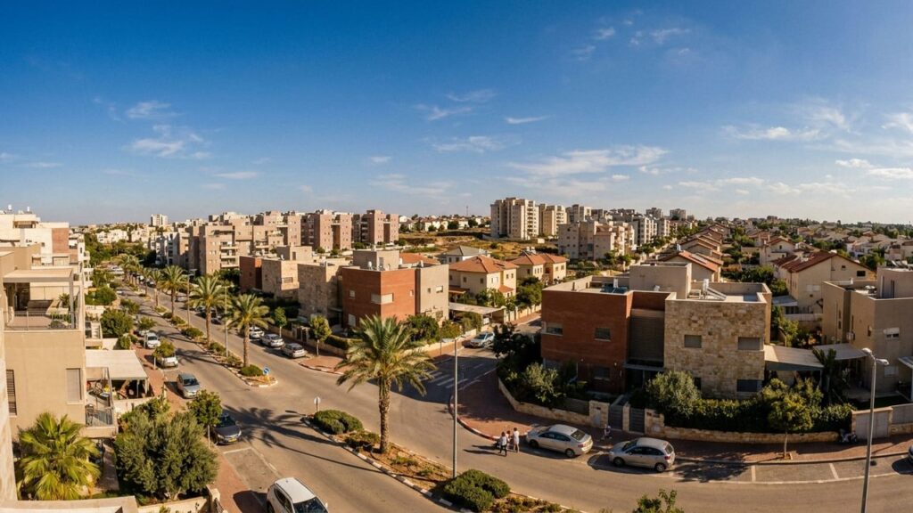
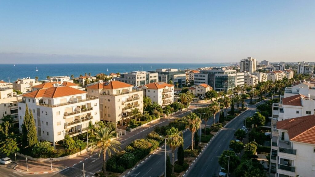
View of Lod in Israel

Lod Area Guide

Lod at a Glance City: Lod • Country: Israel • District: Central District • Population: 94189 • Area: 12.226 km² • Nearest major city: Tel Aviv-Yafo • Distance: approximately 15 km • Main transport connection: Lod railway junction and proximity to Ben Gurion Airport, plus major roads (Highway 1 and Route 44) • Known for: Very long archaeological history (including the Lod mosaics), the Church of Saint George, a mixed Jewish–Arab community, and its role as a central rail/air/road transport hub • Historic origins: Initial settlement c. 5600–5250 BCE; Canaanite/Israelite town attested c. 1465 BCE; important in Hellenistic, Roman (renamed...
Show more
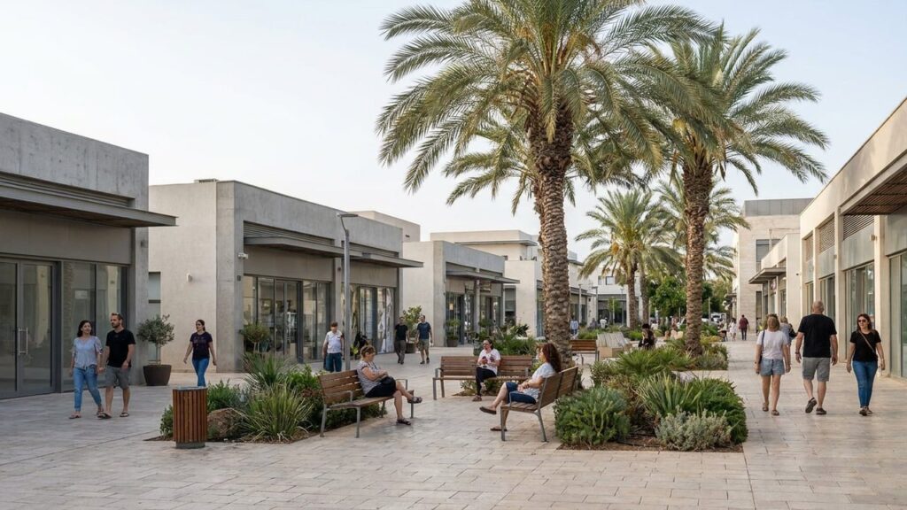
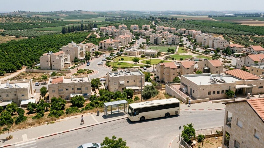
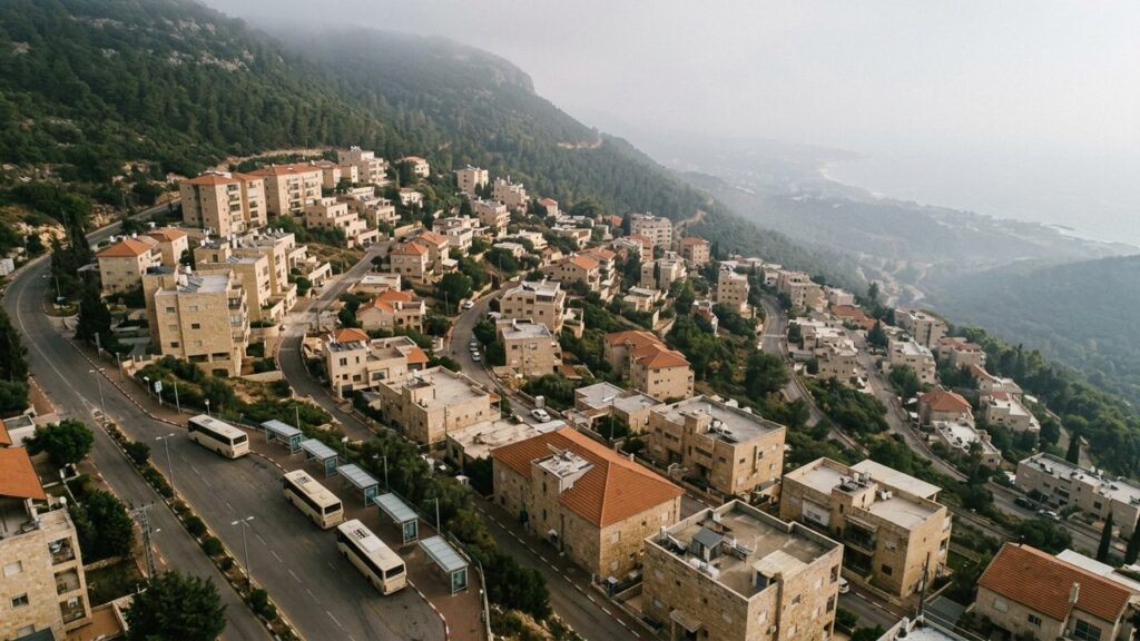
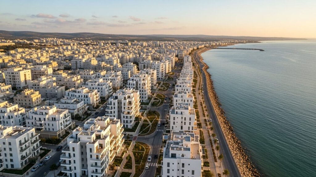
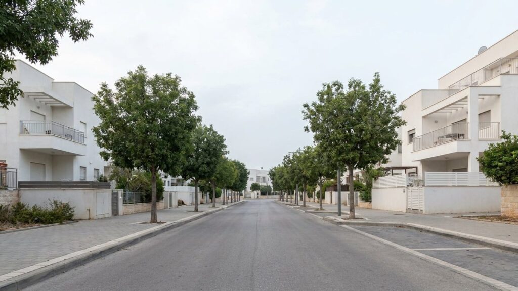
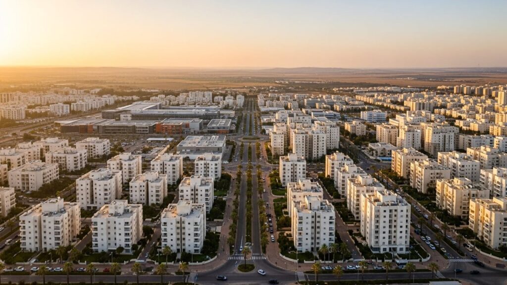
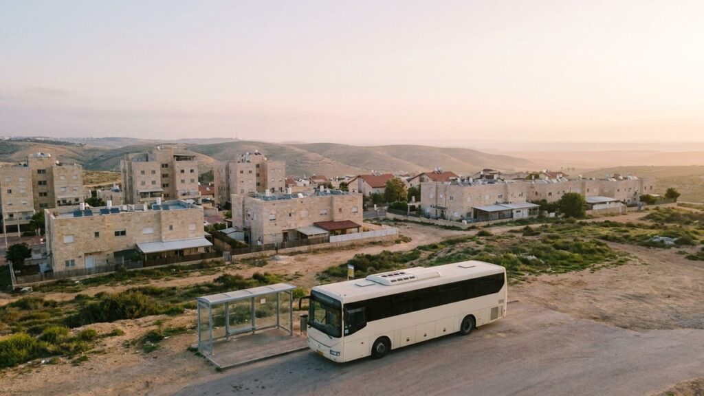
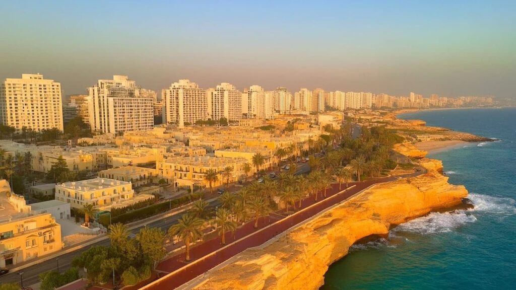
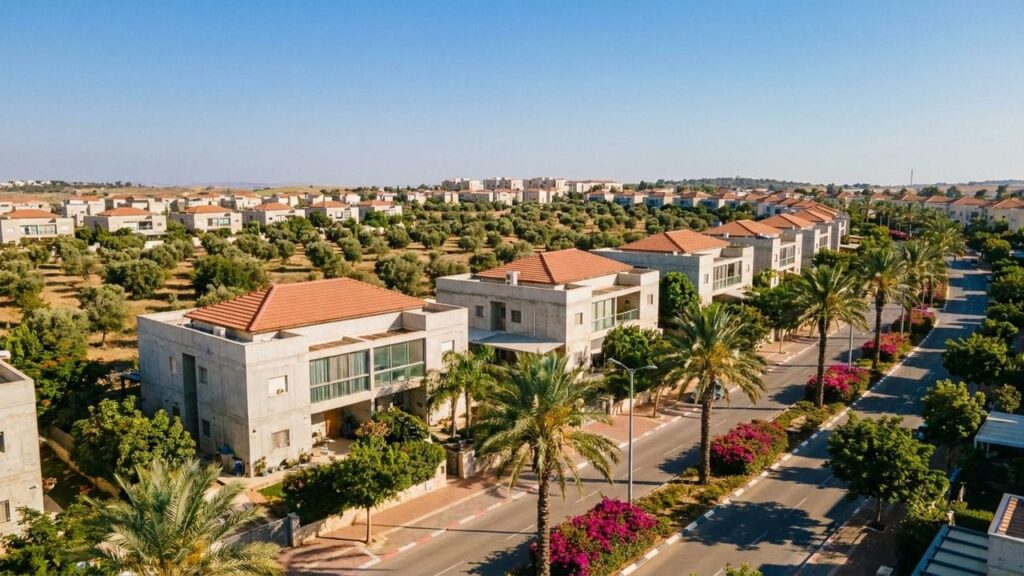
View of Mattan in Israel

Mattan Area Guide

Mattan at a Glance City: Mattan • Country: Israel • District: Central • Population: 3068 • Area: 0.57 • Nearest major city: Kfar Saba • Distance: 6.3 • Main transport connection: Local roads to Highway/Route 531 and access to Israel Railways at Kfar Saba–Nordau station • Known for: A community established in the 1990s; low-density suburban character in the eastern Sharon and a high socioeconomic ranking within its regional council • Historic origins: No known ancient settlement at the exact site of modern Mattan; lies within the broader historic Sharon/Binyamin region and is near traditional sites in the wider area...
Show more
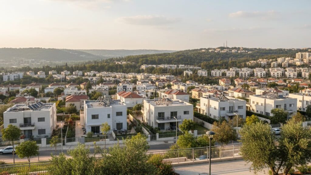
View of Modi'in in Israel

Modi’in Area Guide

Modi’in at a Glance City: Modi’in • Country: Israel • District: Central District • Population: 97600 • Area: 48.35 • Nearest major city: Jerusalem • Distance: 30 • Main transport connection: Highway 431 and Route 443 together with Israel Railways services to Modi’in-Center and Pa’atei Modi’in • Known for: A modern planned, family-oriented city near the region associated with ancient Modi’in; municipal education, parks and a rail link to the Tel Aviv area • Historic origins: Named after the ancient settlement associated in tradition with the Hasmonean (Maccabean) family. Archaeological remains in the general area span Iron Age to Byzantine...
Show more
View of Modi'in-Maccabim-Re'ut in Israel

Modi’in-Maccabim-Re’ut Area Guide

Modi’in-Maccabim-Re’ut at a Glance City: Modi’in-Maccabim-Re’ut • Country: Israel • District: Central District • Population: 100052 • Area: 50.176 km² • Nearest major city: Jerusalem • Distance: 30 • Main transport connection: Highway 431 / Road 443 and Israel Railways via Modi’in Central station • Known for: Planned modern city near the Hasmonean (Maccabees) heritage site; high quality of life, large green/linear parks, and a strong municipal education system • Historic origins: The modern city lies near the sites of ancient Modi’in, associated with the Hasmonean family and revolt. Archaeological remains in the municipal area include Hellenistic/Hasmonean layers, Roman‑period finds...
Show more
View of Pardesiya in Israel

Pardesiya Area Guide

Pardesiya at a Glance City: Pardesiya • Country: Israel • District: Central • Population: 7421 • Area: 1.5 • Nearest major city: Netanya • Distance: 6 • Main transport connection: Highway 4 and regional roads; rail access via nearby Netanya station • Known for: A small Sharon-plain town founded in the late 1930s by Yemenite immigrants; name refers to the orchards (pardesim) that characterised the area and its proximity to Netanya • Historic origins: Part of the Sharon plain historically within the Forest of Sharon, an open woodland dominated by Mount Tabor oak used for pasture and intermittent cultivation prior...
Show more
View of Petah Tikva in Israel

Petah Tikva Area Guide

Petah Tikva at a Glance City: Petah Tikva • Country: Israel • District: Central District • Population: 270403 • Area: 35.868 km² • Nearest major city: Tel Aviv • Distance: Approximately 10.6 km • Main transport connection: Highway 4 (Geha) plus suburban rail and a Red Line light‑rail branch via Kiryat Aryeh and Segula • Known for: Known as ‘Em HaMoshavot’ (Mother of the Moshavot); large industrial zones (Kiryat Aryeh, Segula, Kiryat Matalon); Rabin/Beilinson medical center; growing residential and high‑tech presence • Historic origins: Modern founding in 1878; the site also includes the archaeological mound Tel Mulabbis with remains from...
Show more
View of Ra'anana in Israel

Ra’anana Area Guide

Ra’anana at a Glance City: Ra’anana • Country: Israel • District: Central District • Population: 83147 • Area: 14.9 km² • Nearest major city: Tel Aviv • Distance: approximately 20 km • Main transport connection: Road (Route 4 and Highway 531), Israel Railways service (Ra’anana South/West) and a dense bus network (Metropoline, Egged, others) • Known for: Affluent, leafy suburb noted for parks (Ra’anana Park), an active Anglo/immigrant community and a significant high‑tech / business park presence • Historic origins: Founded as a pre-state Zionist settlement on April 2, 1922; the site lies on the Sharon plain and was historically...
Show more
View of Rehovot in Israel

Rehovot Area Guide

Rehovot at a Glance City: Rehovot • Country: Israel • District: Central • Population: 155049 • Area: 23.041 km² • Nearest major city: Tel Aviv • Distance: 20 km • Main transport connection: Rail (Rehovot railway station) combined with regional roads (Route 412 / Highway 4) and intercity bus connections • Known for: A centre of scientific and agricultural research (Weizmann Institute; nearby Agricultural Research Organization Volcani Center in Beit Dagan; the Robert H. Smith Faculty of Agriculture at Hebrew University in Rehovot), historic agricultural moshava origins and a regional science/tech park • Historic origins: Modern town founded as a...
Show more
View of Rishon LeZion in Israel

Rishon LeZion Area Guide

Rishon LeZion at a Glance City: Rishon LeZion • Country: Israel • District: Central District • Population: 259275 • Area: 61.91 km² • Nearest major city: Tel Aviv-Yafo • Distance: 12 km • Main transport connection: Road (Highway 4 and Highway 431) and Israel Railways (Rishon LeZion – HaRishonim and Moshe Dayan stations) • Known for: One of the earliest modern Zionist agricultural settlements (founded 1882); historic Carmel winery and related events, coastal sand-dune parks and beaches, large shopping malls and entertainment (Superland, amphitheatre) • Historic origins: Founded 31 July 1882 as one of the first modern Zionist settlements. The...
Show more
View of Rosh HaAyin in Israel

Rosh HaAyin Area Guide

Rosh HaAyin at a Glance City: Rosh HaAyin • Country: Israel • District: Central District • Population: 77104 • Area: 15.87 • Nearest major city: Tel Aviv • Distance: 27 km • Main transport connection: Interchange of Highway 5 and Highway 6 and Rosh HaAyin–North railway station • Known for: Branded locally as the “City of Music”; proximity to Tel Afek/Migdal Afek and the Yarkon springs; Rosh HaAyin Forest and green spaces; rapid population growth since the 1990s • Historic origins: Modern town founded in 1949 adjacent to ancient Tel Afek/Antipatris and the Yarkon springs, with archaeological remains from prehistoric...
Show more
View of Tel Mond in Israel

Tel Mond Area Guide

Tel Mond at a Glance City: Tel Mond • Country: Israel • District: Central District • Population: 15403 • Area: 7.08 km² • Nearest major city: Netanya • Distance: 15.9 km • Main transport connection: Road (local roads and bus links) to nearby rail services at Beit Yehoshua station; regional bus lines (Kavim) to Netanya, Kfar Saba and Ra’anana. • Known for: Founded in 1929 by Alfred (Lord) Mond as a plantation and citrus settlement; home to the Beit HaLord museum and surviving early settlement buildings; a regional service centre for the Tel Mond bloc. • Historic origins: Modern agricultural...
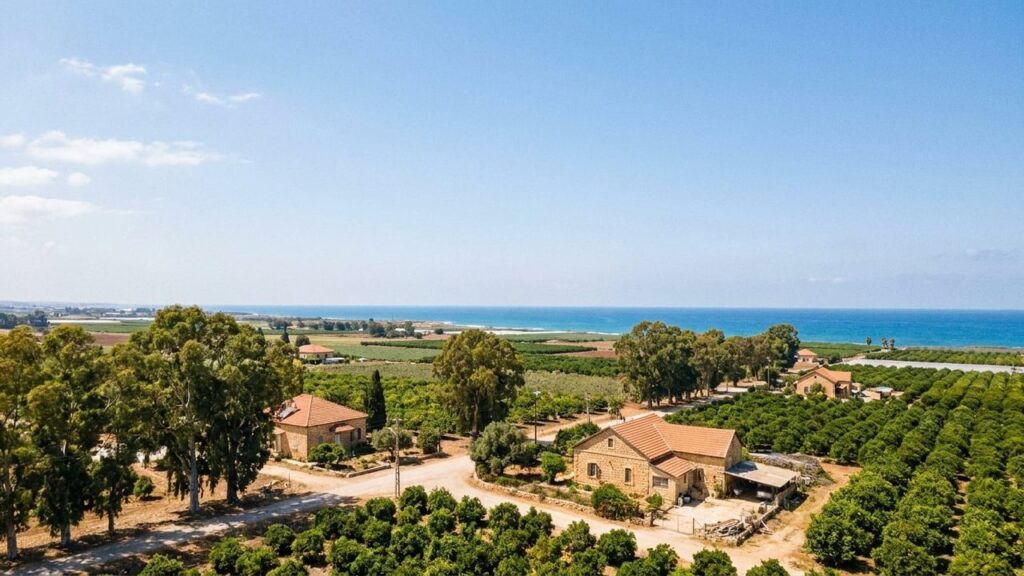
Show more
View of Yad Binyamin in Israel

Yad Binyamin Area Guide

Yad Binyamin at a Glance City: Yad Binyamin • Country: Israel • District: Central • Population: 4338 • Nearest major city: Rehovot • Distance: 10.9 • Main transport connection: Proximity to Highways 3, 6 and 7 and access to the nearby Kiryat Malachi–Yoav railway station • Known for: Religious community settlement; seat of the Nahal Sorek Regional Council; temporary absorption site for families evacuated after the 2005 Gaza disengagement; proximity to major highways (3, 6, 7) • Historic origins: Founded in 1962 as a community settlement and centre for Jewish religious learning; named in memory of Binyamin Mintz Where Is...
Show more
View of Yavne in Israel

Yavne Area Guide

Yavne at a Glance City: Yavne • Country: Israel • District: Central • Population: 57725 • Area: 29.2 km² • Nearest major city: Ashdod • Distance: 13 km • Main transport connection: Coastal Highway (Route 4) and Israel Railways (Yavne West / Yavne East stations) • Known for: The ancient site of Yavneh (Tel Yavne) and its central role in post‑Temple rabbinic history, local archaeology and modern urban growth and renewal • Historic origins: Tel Yavne is an archaeological site inhabited from the Bronze/Iron Ages through Byzantine and later periods; after the destruction of the Second Temple it became a...
Show more
View of Yehud-Monosson in Israel

Yehud-Monosson Area Guide

Yehud-Monosson at a Glance City: Yehud-Monosson • Country: Israel • District: Central District • Population: 32146 • Area: compact area (see municipal sources for exact figure) • Nearest major city: Tel Aviv • Distance: 11.7 km • Main transport connection: Road 461 to Highway 1 / Ayalon corridor; nearest major rail access via Ben Gurion Airport or Lod stations; regular intercity and local bus services • Known for: Proximity to Ben Gurion Airport; industrial, high-technology and manufacturing base including an Israel Aerospace Industries (IAI) campus; established suburban neighbourhoods such as Kiryat Savyonim • Historic origins: The name Yehud appears in...
Show more
View of Binyamina-Giv'at Ada in Israel

Binyamina-Giv’at Ada Area Guide

Binyamina-Giv’at Ada at a Glance City: Binyamina-Giv’at Ada • Country: Israel • District: Haifa • Population: 15566 • Area: 24.42 km² • Nearest major city: Haifa • Main transport connection: Binyamina railway station (Israel Railways intercity and suburban services) • Known for: Wine production and wineries (Binyamina and Tishbi), Roman‑period remains at Shuni/Jabotinsky Park, and the Binyamina railway station as a regional transport hub • Historic origins: Area includes ancient Shuni with Roman‑period remains (theatre and pool) and springs; modern settlements: Giv’at Ada founded 1903, Binyamina founded 1922; the two councils merged in 2003 Where Is Binyamina-Giv’at Ada? Binyamina-Giv’at Ada...
Show more
View of Atlit in Israel

Atlit Area Guide

Atlit at a Glance City: Atlit • Country: Israel • District: Haifa • Population: 11611 • Area: 14 km² • Nearest major city: Haifa • Distance: 15 km • Main transport connection: Coastal Highway 2 and Israel Railways coastal line (Atlit railway station) • Known for: Crusader fortress (Château Pèlerin / Atlit Fortress), the Atlit detainee camp (Ha’apala museum), the submerged Neolithic site Atlit-Yam, coastal beaches and historic salt-works • Historic origins: Neolithic evidence (Atlit-Yam) c.6900 BCE; modern Jewish settlement founded 1903; attained local council status in 1950 Where Is Atlit? Atlit sits on Israel’s Mediterranean coastline in the Haifa...
Show more
View of Hadera in Israel

Hadera Area Guide

Hadera at a Glance City: Hadera • Country: Israel • District: Haifa • Population: 107974 • Area: 53 km² • Nearest major city: Haifa • Distance: 42 km • Main transport connection: Highway 2 (Coastal Highway) and the Israel Railways Coastal Line (served at Hadera–West), plus regional bus networks • Known for: Orot Rabin power station, Nahal Hadera park and eucalyptus forest, beaches, Hillel Yaffe Medical Center, Technoda science centre • Historic origins: Modern Hadera was founded on 24 January 1891; the coastal area has Classical/Byzantine and Crusader-period archaeological connections and has been discussed in scholarship with debated identifications to...
Show more
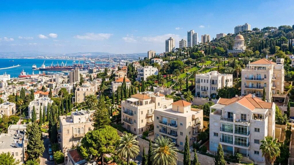
View of Haifa in Israel

Haifa Area Guide

Haifa at a Glance City: Haifa • Country: Israel • District: Haifa • Population: 298312 • Area: 63.666 km² • Nearest major city: Tel Aviv • Distance: 90 km • Main transport connection: Israel Railways coastal main line (Haifa Hof HaCarmel) and Highway 2 (Coastal Highway); supplemented by Metronit BRT, central bus stations (Hof HaCarmel, Merkazit HaMifratz) and the Port of Haifa. • Known for: Port of Haifa; the Baháʼí World Centre and its terraced gardens; Technion and University of Haifa; mixed Arab–Jewish urban character; major hi‑tech park (Matam); Mount Carmel coastline. • Historic origins: Archaeological settlement since the Bronze...
Show more
View of Karmiel in Israel

Karmiel Area Guide

Karmiel at a Glance City: Karmiel • Country: Israel • District: Northern District • Population: 47941 • Area: 19.188 km² • Nearest major city: Haifa • Distance: 32 km • Main transport connection: Acre–Safed regional road (Route 85) and the Haifa–Karmiel railway (terminus at Karmiel station, adjacent transport terminal). • Known for: The annual Karmiel Dance Festival, ORT Braude Academic College of Engineering, Karmiel Quarries Park and serving as a regional service centre in the Galilee. • Historic origins: The Beit HaKerem Valley area around modern Karmiel shows archaeological evidence of habitation and activity since the Bronze and Iron Ages,...
Show more
View of Kiryat Ata in Israel

Kiryat Ata Area Guide

Kiryat Ata at a Glance City: Kiryat Ata • Country: Israel • District: Haifa • Population: 62584 • Area: 24.16 • Nearest major city: Haifa • Distance: 14 km • Main transport connection: Road (Highway 4 / local arterial roads / connections to Routes 79 and 6) and bus/Metronit rapid transit; nearest heavy‑rail access via Kiryat Motzkin / HaMifratz stations • Known for: Historic ATA textile factory site, archaeological remains spanning multiple ancient periods, part of the Krayot suburban cluster, Fisher House municipal museum, strong local sports clubs • Historic origins: Archaeological surveys at Khirbet Sharta and nearby tells show...
Show more
View of Kiryat Bialik in Israel

Kiryat Bialik Area Guide

Kiryat Bialik at a Glance City: Kiryat Bialik • Country: Israel • District: Haifa District • Population: 46417 • Area: 8.178 • Nearest major city: Haifa • Distance: 9.8 • Main transport connection: Coastal rail via Kiryat Motzkin station and regional road network linking to Haifa and Highway 2/4 • Known for: Founded in 1934 by German-Jewish immigrants (Fifth Aliyah); historical ATA textile factory presence; part of the Krayot suburban cluster; proximity to Ein Afek nature reserve • Historic origins: Modern town founded 18 July 1934; nearby Tel Afek / Ein Afek archaeological mound and wetlands with remains from multiple...
Show more
View of Kiryat Motzkin in Israel

Kiryat Motzkin Area Guide

Kiryat Motzkin at a Glance City: Kiryat Motzkin • Country: Israel • District: Haifa • Population: 51350 • Area: 3.8 • Nearest major city: Haifa • Distance: 8 km • Main transport connection: Israel Railways coastal line (Kiryat Motzkin station) supplemented by Road 4 / Highway 2 and the Krayot Central Bus Station (Metronit and local bus services) • Known for: Part of the Krayot cluster north of Haifa; a commuter/suburban city with a central Israel Railways station; named after Leo (Aryeh Leib) Motzkin; municipal history museum (Beit Garushkewitz) and local commercial centre (Lev Motzkin). • Historic origins: Modern town...
Show more
View of Or Aqiva in Israel

Or Aqiva Area Guide

Or Aqiva at a Glance City: Or Aqiva • Country: Israel • District: Haifa • Population: 25922 • Area: 3.539 km² • Nearest major city: Hadera • Distance: 8 km • Main transport connection: Highway 2 (Coastal Road) and regional bus links to the Binyamina railway station • Known for: Post-1948 development from a 1950s ma’abara into an industrial and residential city; proximity to Caesarea; local industrial areas and newer residential projects such as Or Yam • Historic origins: Modern town founded 1951 on lands that included the area of the Palestinian village Barrat Qisarya (depopulated 1948); the site lies...
Show more
View of Tirat Karmel in Israel

Tirat Karmel Area Guide

Tirat Karmel at a Glance City: Tirat Karmel • Country: Israel • District: Haifa • Population: 32759 • Area: 5.94 km² • Nearest major city: Haifa • Distance: approximately 4 km • Main transport connection: Road 4 (coastal route) and proximity to Haifa Hof HaCarmel railway station (Israel Railways) with frequent bus links • Known for: A residential city on the western slopes of Mount Carmel near Haifa; archaeological remains have been reported in the area according to published sources, and the location is associated with a former Ottoman village called al-Tira; coastal proximity and views of the Mediterranean •...
Show more
View of Zichron Yaakov in Israel

Zichron Yaakov Area Guide

Zichron Yaakov at a Glance City: Zichron Yaakov • Country: Israel • District: Haifa District • Population: 24145 • Area: 31.527 • Nearest major city: Haifa • Distance: approximately 37 km • Main transport connection: Highway 2 / Route 4 and the nearby Binyamina railway station • Known for: First‑Aliyah moshava, preserved pedestrian promenade, wineries and wine tourism, Ramat Hanadiv gardens, NILI and settlement museums • Historic origins: Founded December 1882 as a First Aliyah moshava with earlier archaeological sites in the coastal/Carmel area indicating ancient habitation Where Is Zichron Yaakov? Zichron Yaakov sits on the southern slopes of the...
Show more
View of Beit Shemesh in Israel

Beit Shemesh Area Guide

Beit Shemesh at a Glance City: Beit Shemesh • Country: Israel • District: Jerusalem • Population: Consult the Israeli Central Bureau of Statistics for the latest official municipal population figure. • Area: 34.259 km² • Nearest major city: Jerusalem • Distance: 30 km • Main transport connection: Route 38 regional road links and Israel Railways (Herzliya-Lod-Jerusalem line via Beit Shemesh station) • Known for: Tel Beit Shemesh archaeological site; a large and growing Haredi population; the Ramat Beit Shemesh residential expansions; a suburban link between Jerusalem and the Tel Aviv area • Historic origins: Tel Beit Shemesh (Tell/Ain Shams) with...
Show more
View of Bet She'an in Israel

Bet She’an Area Guide

Bet She’an at a Glance City: Bet She’an • Country: Israel • District: Northern District • Population: 19825 • Area: 7.33 km² • Nearest major city: Haifa • Distance: 58 km • Main transport connection: Route 90 (north–south Highway 90 along the Jordan Valley) and the Jezreel Valley railway line connecting Beit She’an with Afula and Haifa • Known for: Extensive Roman and Byzantine ruins (Beit She’an National Park / ancient Scythopolis), archaeological tourism, location in the Beit She’an (Jordan) Valley and regional agricultural activity; hot, semi‑arid valley climate • Historic origins: Earliest settlement in the 6th–5th millennia BCE; long...
Show more
View of Akko in Israel

Akko Area Guide

Akko at a Glance City: Akko • Country: Israel • District: Northern District • Population: 52885 • Area: 18.1 km² • Nearest major city: Haifa • Distance: Approximately 14.3 km • Main transport connection: Coastal Highway (Route 4) and the Israel Railways Coastal line (Acre Railway Station). • Known for: Historic Old City (UNESCO World Heritage Site), Crusader and Ottoman fortifications, port and old bazaars, Baháʼí related sites, and a mixed multi-religious urban character. • Historic origins: Evidence of settlement from the Early Bronze Age (c.3000 BC), with later Phoenician and Persian use of the port. The site is known...
Show more
View of Hatzor HaGlilit in Israel

Hatzor HaGlilit Area Guide

Hatzor HaGlilit at a Glance City: Hatzor HaGlilit • Country: Israel • District: Northern • Population: 10638 • Area: 5.5 km² • Nearest major city: Safed (Tzfat) • Distance: 4.1 km • Main transport connection: Road / intercity buses (town terminal served by Egged regional and long-distance lines); primary road access via regional routes including Highway 89 and connections to Route 90. • Known for: Proximity to the archaeological site Tel Hazor (part of the UNESCO ‘Biblical Tels’), the shrine/tomb of Honi the Circle-Maker, a notable religious/Hasidic community presence, and its origin as a 1950s transit camp/development town. • Historic...
Show more
View of Kfar Tavor in Israel

Kfar Tavor Area Guide

Kfar Tavor at a Glance City: Kfar Tavor • Country: Israel • District: Northern District • Population: 4410 • Area: 12.4 km² • Nearest major city: Nazareth • Distance: 14.2 km • Main transport connection: Road access via local roads to Route 65 (Golani interchange) and regular regional bus links to Afula/Nazareth; nearest rail access via Afula railway station. • Known for: An early modern Jewish settlement founded during the First Aliyah (1901); location at the foot of Mount Tabor with views over the Jezreel Valley; historic Hameyasdim core; local wineries and small museums (history and marzipan). • Historic origins:...
Show more
View of Kiryat Shmona in Israel

Kiryat Shmona Area Guide

Kiryat Shmona at a Glance City: Kiryat Shmona • Country: Israel • District: Northern • Population: 24254 • Area: 14.4 • Nearest major city: Tiberias • Distance: approximately 46 km • Main transport connection: Road junction of Highway 90 (north–south) and Highway 99 (east–west). Main public transport is intercity and regional buses; nearest active rail access is at Karmiel. • Known for: A northern regional town with close access to the Hula Valley and Tel Dan; founded as a development town in 1949 and home to Tel‑Hai Academic College. • Historic origins: Modern town founded 1949; the surrounding area has...
Show more
View of Maalot-Tarshiha in Israel

Maalot-Tarshiha Area Guide

Maalot-Tarshiha at a Glance City: Maalot-Tarshiha • Country: Israel • District: Northern • Population: approximately 23,000 (latest municipal estimate) • Area: 9.22 km² • Nearest major city: Haifa • Distance: 34 km • Main transport connection: Highway 89 provides the main east–west road link. Regional intercity buses connect to coastal and inland towns; rail travel is typically accessed via coastal stations, with Nahariya commonly used for rail connections. • Known for: A mixed Jewish–Arab municipality in the Upper Galilee. Lake Monfort (Hosen Reservoir), the nearby Crusader ruins at Monfort, and local cultural events including an annual sculpture symposium. • Historic...
Show more
View of Nahariya in Israel

Nahariya Area Guide

Nahariya at a Glance City: Nahariya • Country: Israel • District: Northern District • Population: about 64,000 (see Israel Central Bureau of Statistics) • Area: 13.8 km² • Nearest major city: Haifa • Distance: 34 km • Main transport connection: Israel Railways coastal line (Nahariya station, northern terminus) together with the coastal Highway 4 (and Highway 89 linking inland to the Upper Galilee). • Known for: Mediterranean beaches and promenade, Sderot Ga’aton boulevard, the Ga’aton River, historical food-industry firms founded in the city, and serving as the northern coastal terminus of Israel’s rail network. • Historic origins: Evidence of very...
Show more
View of Ramat Yishai in Israel

Ramat Yishai Area Guide

Ramat Yishai at a Glance City: Ramat Yishai • Country: Israel • District: Northern District • Population: about 8,040 (reported) • Area: about 2.34 km² • Nearest major city: Nazareth (nearby major city; road distances vary by route and source) • Distance: varies by route and source • Main transport connection: Road junctions on the Haifa–Nazareth corridor with regional bus links; rail access via the Jezreel Valley line at the nearby Yokneam–Kfar Yehoshua station. • Known for: Founded as a textile-oriented colony and later developed as a residential community; proximity to archaeological sites, local sports facilities and a small industrial/commercial...
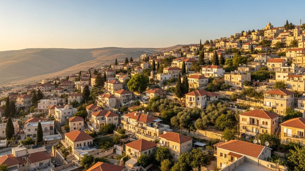
Show more
View of Safed in Israel

Safed Area Guide

Safed at a Glance City: Safed • Country: Israel • District: Northern • Population: 37801 • Nearest major city: Haifa • Distance: 51 km • Main transport connection: Intercity bus (central bus station); nearest rail connections via Karmiel, Ahihud or Acre/Akko • Known for: Center of Jewish mysticism and Kabbalah, historic synagogues, artists’ quarter, hilltop Galilean views • Historic origins: Traditionally identified with the fortified town Sepph mentioned by Josephus; the site also appears in rabbinic and medieval sources. These are traditional attributions rather than precise archaeological datings. Where Is Safed? Safed sits on upland terrain in the Upper Galilee...
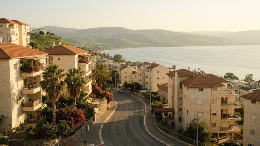
Show more
View of Tiberias in Israel

Tiberias Area Guide

Tiberias at a Glance City: Tiberias • Country: Israel • District: Northern District • Population: 55000 • Area: 10.846 • Nearest major city: Nazareth • Distance: 24 • Main transport connection: Mainly by intercity and regional buses and by road; no active passenger rail terminus in the city • Known for: Sea of Galilee lakeshore, Talmudic history, hot springs (Hammat Tiberias), lakeside tourism and pilgrim sites • Historic origins: Founded circa 20 CE by Herod Antipas; developed into a major Talmudic centre and has continued importance through Roman, Byzantine, Early Muslim/Umayyad, Crusader, Mamluk/Ottoman, British Mandate and modern periods Where Is...
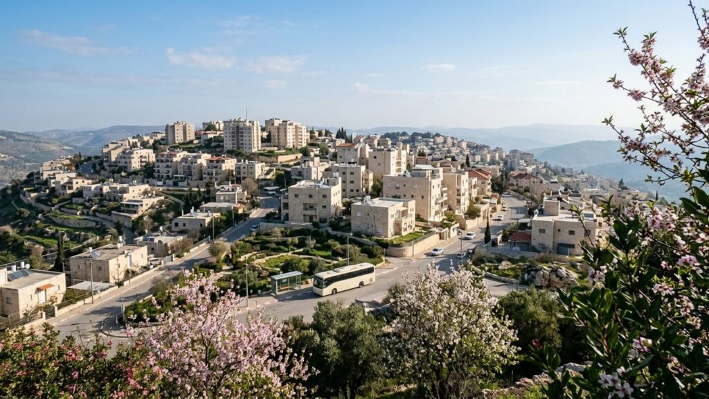
Show more
View of Tsfat in Israel

Tsfat Area Guide

Tsfat at a Glance City: Tsfat • Country: Israel • District: Northern District • Population: 38687 • Area: 30 km² • Nearest major city: Tiberias • Distance: 36 km • Main transport connection: Regional bus network (central bus station); nearest railway access at Karmiel station • Known for: One of Judaism’s four holy cities; Kabbalah tradition, historic synagogues, Old City and Artists’ Quarter, high-altitude Galilean views • Historic origins: Settlement attested since the Second Temple/Talmudic period (identified with ancient Sepph); municipal council established 1878 Where Is Tsfat? Tsfat sits in the Upper Galilee on a high ridge with wide views...
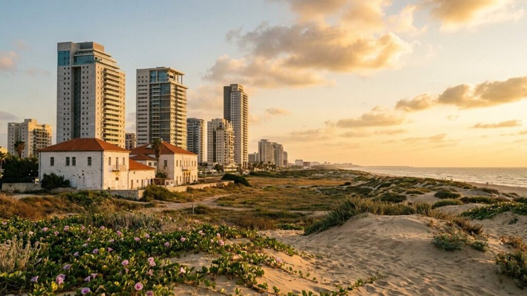
Show more
View of Ashdod in Israel

Ashdod Area Guide

Ashdod at a Glance City: Ashdod • Country: Israel • District: Southern • Population: 228562 • Area: 47.242 • Nearest major city: Tel Aviv • Distance: Approximately 32 km • Main transport connection: Highway 4 (coastal road) and the Ashdod Ad Halom Israel Railways station; Port of Ashdod is the city’s major freight gateway. • Known for: Israel’s largest cargo port (Port of Ashdod), Mediterranean beaches and coastal sand‑dune environment, the ancient/archaeological heritage of Ashdod and Ashdod‑Yam, and a diverse immigrant population. • Historic origins: Site of ancient Ashdod with continuous occupation from the Bronze Age; modern city founded in...
Show more
View of Ashkelon in Israel

Ashkelon Area Guide

Ashkelon at a Glance City: Ashkelon • Country: Israel • District: Southern • Population: 175852 • Area: Approximately 47.8 km² (reported by municipal sources) • Nearest major city: Ashdod • Distance: 17 km • Main transport connection: Israel Railways (coastal line) and Highway 4 / regional road network • Known for: Ashkelon National Park (ancient Ascalon), Mediterranean beaches and marina, academic college, coastal environment and nearby industrial/energy facilities • Historic origins: According to archaeological studies, the archaeological site of ancient Ascalon lies on the coastal edge adjacent to the modern municipality and contains long occupation layers spanning prehistoric times through...
Show more
View of Beer Sheva in Israel

Beer Sheva Area Guide

Beer Sheva at a Glance City: Beer Sheva • Country: Israel • District: Southern • Population: Over 200,000 residents (estimates vary by source) • Area: 117.5 km² • Nearest major city: Jerusalem • Distance: 72 km • Main transport connection: Rail: Israel Railways services to Tel Aviv. Road: Highway 40 / Route 25 and connections to Highway 6. Central intercity bus station provides regional links. • Known for: Capital of the Negev; Ben-Gurion University; Soroka Medical Center; Tel Be’er Sheva archaeological site; regional administrative, educational and health-care centre. • Historic origins: Ancient settlement at Tel Be’er Sheva with habitation from...
Show more
View of Kiryat Gat in Israel

Kiryat Gat Area Guide

Kiryat Gat at a Glance City: Kiryat Gat • Country: Israel • District: Southern • Population: 63386 • Area: 17.102 • Nearest major city: Ashkelon • Distance: 24 • Main transport connection: Road: Highways 40 and 6; Rail: Kiryat Gat railway station; regional bus services • Known for: High-tech and semiconductor manufacturing (Intel fabs), Rabin industrial zone, association with ancient Gath • Historic origins: Modern town founded 1954 as a ma’abara and development town; site lies in the Lachish region with ancient Philistine‑period associations (early identification with biblical Gath via Tel Erani later revised) Where Is Kiryat Gat? Kiryat Gat...
Show more
View of Eilat in Israel

Eilat Area Guide

Eilat at a Glance City: Eilat • Country: Israel • District: Southern District • Population: 57339 • Area: 84.789 km² • Nearest major city: Aqaba, Jordan • Distance: 6.7 km • Main transport connection: By road (Route 90 and connecting routes) and by air (Ramon/Eilat airport – ETM); regular intercity buses are the primary public transport link; there is currently no passenger rail to Eilat. • Known for: Israel’s southernmost city and a Red Sea resort. Noted for coral reefs and diving/snorkeling, warm beaches, desert scenery (Eilat Mountains & Timna), bird migration stopovers, duty-free shopping and a port. • Historic...
Show more
View of Lehavim in Israel

Lehavim Area Guide

Lehavim at a Glance City: Lehavim • Country: Israel • District: Southern District • Population: 7219 • Area: 11.2 • Nearest major city: Be’er Sheva • Distance: 14 • Main transport connection: Road 40 with access to Highway 6, and the Lehavim-Rahat Israel Railways station • Known for: Planned, relatively affluent suburb of Be’er Sheva with predominantly single-family housing; proximity to the Lehavim-Rahat railway station; local environmental projects such as wastewater reuse for irrigation (reported in municipal profiles). • Historic origins: Name is biblical in origin; no known ancient settlement at the modern site Where Is Lehavim? Lehavim lies in...
Show more
View of Meitar in Israel

Meitar Area Guide

Meitar at a Glance City: Meitar • Country: Israel • District: Southern • Population: 11608 • Area: 16.696 km² • Nearest major city: Beersheba • Distance: 19 km • Main transport connection: Highway 60 • Known for: Affluent suburban town, proximity to Yatir/Meitar Forest, nearby archaeological site Horvat Tzalit, hosting regional tennis events • Historic origins: Area contains archaeological remains (Horvat Tzalit) dated to the Roman period and uses/hideout systems from the time of the Bar Kokhba revolt; modern town founded 1984 Where Is Meitar? Meitar is located in the southern part of Israel’s Southern District, positioned within the wider...
Show more
View of Metar in Israel

Metar Area Guide

Metar at a Glance City: Metar • Country: Israel • District: Southern District • Population: 11646 • Area: 24.2 km² • Nearest major city: Beersheba • Distance: 16.3 km • Main transport connection: Road (regional roads) with scheduled bus services; nearest rail access at Lehavim-Rahat station • Known for: Residential commuter town near Yatir Forest; municipal sources report growth since the 1980s • Historic origins: Founded in 1984; no verified ancient settlement recorded on the site Where Is Metar? Metar is in the Southern District, on southern foothills near Yatir Forest at the northern edge of the Negev. The town...
Show more
View of Mitzpe Ramon in Israel

Mitzpe Ramon Area Guide

Mitzpe Ramon at a Glance City: Mitzpe Ramon • Country: Israel • District: Southern • Population: 5385 • Area: 62.875 km² • Nearest major city: Be’er Sheva (regional hub) • Distance: 85 km • Main transport connection: Road. Highway 40 is the primary link to Be’er Sheva and to Eilat. Intercity buses run to Be’er Sheva and Dimona; rail connections for longer trips are accessed via regional stations. • Known for: Overlooking Makhtesh Ramon (Ramon Crater); stargazing (Wise Observatory); ecotourism, hiking and mountain-biking; nearby Nabatean and Byzantine remains; recent development initiatives including a 2020s ‘space city’ initiative. • Historic origins:...
Show more
Park in Netivot

Netivot Area Guide

Netivot at a Glance City: Netivot • Country: Israel • District: Southern District • Population: about 56,000 (estimate, according to the Israel Central Bureau of Statistics) • Area: about 5.6 km² • Nearest major city: Beersheba • Distance: 31 km • Main transport connection: Netivot railway station on the Ashkelon to Beersheba line; road access via Highway 34 and Highway 25 • Known for: Religious pilgrimage, notably the tomb of Rabbi Israel Abuhatzeira (the Baba Sali), local Sephardic and Mizrahi religious life, and recent residential growth • Historic origins: Archaeological remains at Horbat Bohu indicate long-standing settlement in the area....
Show more
View of Sderot in Israel

Sderot Area Guide

Sderot at a Glance City: Sderot • Country: Israel • District: Southern • Population: 33002 • Area: 4.472 km² • Nearest major city: Ashkelon • Distance: 15 km • Main transport connection: Highway 34 and the Ashkelon–Be’er Sheva railway (Sderot railway station) • Known for: Proximity to the Gaza Strip and a history of security incidents; Sapir Academic College; a local music and cinema scene; urban-forest and boulevard projects and active community life. • Historic origins: Before 1948 the area was the site of the Palestinian village Najd. The modern town was founded in 1951 as a ma’abara/transit camp and...
Show more
View of Bat Yam in Israel

Bat Yam Area Guide

Bat Yam at a Glance City: Bat Yam • Country: Israel • District: Tel Aviv • Population: 128465 • Area: 9.4 • Nearest major city: Tel Aviv-Yafo • Distance: 6.9 km • Main transport connection: Ayalon Highway (Highway 20) and Israel Railways stations (Bat Yam–HaKomemiyut, Bat Yam–Yoseftal); served by the Tel Aviv Red Line light rail (city terminus) and multiple bus routes. • Known for: Mediterranean beaches and 3.2 km promenade, seaside recreation, International Street Theater Festival, and extensive urban-renewal projects. • Historic origins: Modern Bat Yam grew from early 20th-century settlement efforts (association established 1919; settlement formed as Bayit...
Show more
View of Bnei Brak in Israel

Bnei Brak Area Guide

Bnei Brak at a Glance City: Bnei Brak • Country: Israel • District: Tel Aviv • Population: 200000 • Area: 7.36 km² • Nearest major city: Tel Aviv-Yafo • Distance: 4.8 km • Main transport connection: Jabotinsky Road together with the Ayalon highway/rail corridor (Route 20 / Israel Railways) • Known for: A major centre of Haredi and ultra-Orthodox Jewish life, home to many yeshivot and kollelim, with high population density and active communal institutions. • Historic origins: Name derives from the Biblical Bene-berak. The modern town developed in the early 20th century and grew into a city in the...
Show more
View of Kiryat Ono in Israel

Kiryat Ono Area Guide

Kiryat Ono at a Glance City: Kiryat Ono • Country: Israel • District: Tel Aviv • Population: 43310 • Area: 5.4 • Nearest major city: Tel Aviv • Distance: 11 • Main transport connection: Roads and buses (local arterial streets linking to the Ayalon corridor); nearest heavy-rail access via Ramat Gan station; proximity to Ben Gurion Airport (~6.5 km). • Known for: Ono Academic College; well-regarded local education system; suburban commuter location east of Tel Aviv; Kiryat Ono Mall and Reisfeld Park. • Historic origins: The site preserves the name of the biblical town Ono; the wider Ono area was...
Show more
View of Or Yehuda in Israel

Or Yehuda Area Guide

Or Yehuda at a Glance City: Or Yehuda • Country: Israel • District: Tel Aviv • Population: 41130 • Area: 6.5 • Nearest major city: Tel Aviv-Yafo • Distance: 9.2 • Main transport connection: Road links via Route 461/412 to the Ayalon corridor and rail access via Ben Gurion Airport railway station to Tel Aviv and the national rail network. • Known for: Location on the site of biblical Ono; post-1948 immigrant absorption (ma’abarot), Babylonian Jewry Heritage Center, proximity to Ben Gurion Airport. • Historic origins: Site occupied since the Chalcolithic (c.3500 BCE); identified with the biblical town Ono; Ottoman-period...
Show more
View of Netanya in Israel

Netanya Area Guide

Netanya at a Glance City: Netanya • Country: Israel • District: Central • Population: 233,104 (2022) • Area: 34.7 km² • Nearest major city: Tel Aviv • Distance: approximately 30 km • Main transport connection: Highway 2 (Coastal Highway) and the Israel Railways coastal intercity rail line (Netanya Sapir station) • Known for: Mediterranean beaches and coastal cliff promenade, seasonal vernal pools and the Iris nature site, historical diamond polishing industry, regional immigration and population hub • Historic origins: Modern town founded 18 February 1929 near the historic Poleg area on the Sharon coastal plain; the local landscape includes remnants...
Show more

Ramat Gan Area Guide

Ramat Gan at a Glance City: Ramat Gan • Country: Israel • District: Tel Aviv District • Population: 167794 • Area: 12.214 • Nearest major city: Tel Aviv-Yafo • Distance: 3 • Main transport connection: Ayalon transport corridor (Route 20) / Arlozorov (Savidor) transport hub linking road, bus and rail; planned/ongoing light-rail and metro projects in the greater Gush Dan area. • Known for: Israel Diamond Exchange (Diamond District),Ramat Gan Safari,Ramat Gan National Park,Sheba Medical Center (Tel HaShomer area),Bar-Ilan University,significant business/high-tech and commercial districts • Historic origins: Archaeological remains (Tel Gerisa and finds near the Yarkon) show activity in the...
Show more
View of Holon in Israel

Holon Area Guide

Holon at a Glance City: Holon • Country: Israel • District: Tel Aviv • Population: 191829 • Area: 18.927 km² • Nearest major city: Tel Aviv • Distance: 6 km • Main transport connection: Ayalon corridor (Route 20 / Ayalon Freeway) and Israel Railways commuter links (Holon-Wolfson / Holon Junction) • Known for: Branded as a “Children’s City” (family attractions), Design Museum Holon, cultural institutions, a large industrial zone, and a small Samaritan presence in Neve Pinchas (noted in some local sources). • Historic origins: According to archaeological research, the area has evidence of ancient human activity; the place-name also...
Show more
View of Ramat HaSharon in Israel

Ramat HaSharon Area Guide

Ramat HaSharon at a Glance City: Ramat HaSharon • Country: Israel • District: Tel Aviv • Population: 48860 • Area: 16.792 km² • Nearest major city: Tel Aviv-Yafo • Distance: 9.2 km • Main transport connection: Road via the Glilot / Highway 2 corridor and an extensive local bus network; rail access via the nearby Herzliya Israel Railways station. • Known for: Affluent suburban residential character with tree-lined boulevards; historically known for strawberry fields and citrus groves; home to the Israel Tennis Center (Canada Stadium) and local cultural and educational institutions. • Historic origins: Archaeological evidence shows Byzantine and Early...
Show more
View of Tel Aviv in Israel

Tel Aviv Area Guide

Tel Aviv at a Glance City: Tel Aviv • Country: Israel • District: Tel Aviv District • Population: 494900 • Area: 52 km² • Nearest major city: Jerusalem • Distance: approximately 54 km • Main transport connection: Ayalon Highway (Highway 20) and the parallel Ayalon rail corridor, linked to Israel Railways and the central bus network • Known for: Mediterranean beaches and promenade, nightlife and cultural scene, the White City (Bauhaus/modernist architecture), a major high-tech/startup cluster and cultural institutions • Historic origins: Modern Tel Aviv was founded on 11 April 1909. The municipal area includes the ancient port of Jaffa...
Show more

See other categories

ancient-places
Ancient scrolls and artifacts related to Biblical Studies
Biblical Studies
Hands holding a heart symbolizing support and community
Charity and Social Responsibility
charity-social-responsibility
Assorted Israeli dishes and beverages
Food and Beverages from Israel
food-beverages-from-israel
Scenic view of Israeli landscape with traditional elements
General
Scenic view of Israel's diverse landscapes
Geography & Travelling of Israel
geography-and-travelling-of-israel
We use cookies to provide the best site experience
Lev Haolam logo
Lev Haolam Facebook page Lev Haolam YouTube Follow Lev Haolam on Twitter Instagram Lev Haolam Lev Haolam Pinterest Lev Haolam TikTok Lev Haolam Threads
© 2015 – 2026 Lev Haolam
Become a member Update my details
Contact Us
+972 23721384 +1 (531) 208 1263
Customer Support: 24/6 · Sun–Fri (till 4pm)

Closed on Shabbat hours & Israeli public holidays
support@levhaolam.com
Lev Haolam copyright
Lev Haolam World Ltd.
Luleem Business Center, Kfar
Etzion 9091200, Israel
Israeli Company Number: 515056927
Become a member Update my details
Privacy Policy Terms & Conditions AI Information About Lev Haolam
Mastercard payment for Israel gifts Visa card Maestro card American Express payment option PayPal – pay for your Israel box Secure payment for Israel boxes
© 2015 – 2026 Lev Haolam