
Netanya Area Guide
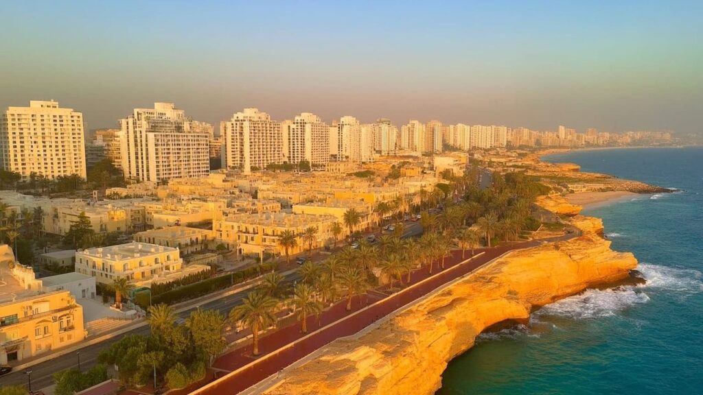

Netanya is a coastal city on Israel’s Mediterranean shoreline known for its beaches, promenade and regional role. This guide outlines location, history, population, facilities and lifestyle to help you understand daily life in the city.
Netanya at a Glance
City: Netanya • Country: Israel • District: Central • Population: 233,104 (2022) • Area: 34.7 km² • Nearest major city: Tel Aviv • Distance: approximately 30 km • Main transport connection: Highway 2 (Coastal Highway) and the Israel Railways coastal intercity rail line (Netanya Sapir station) • Known for: Mediterranean beaches and coastal cliff promenade, seasonal vernal pools and the Iris nature site, historical diamond polishing industry, regional immigration and population hub • Historic origins: Modern town founded 18 February 1929 near the historic Poleg area on the Sharon coastal plain; the local landscape includes remnants of the Forest of Sharon and archaeological and natural features such as the Poleg stream and coastal cliffs.
Insider's Guide to Israel
and can't-miss places most tourists never find.

Where Is Netanya?
Netanya sits on the central Israeli Mediterranean coast on the Sharon plain, with a coastline of sandy beaches and coastal cliffs. The city lies roughly north of Tel Aviv at a road distance of approximately 30 km and is positioned between several other coastal and inland communities.
The municipality is in the Central District and borders both coastal and inland towns. Geographically it combines a narrow coastal strip with built-up residential and commercial areas inland, and natural corridors such as the Poleg stream crossing the southern side of the city.
Neighbouring cities include Hadera to the north and Herzliya and Kfar Saba to the south and southeast; Haifa is further along the coast to the north at roughly 56 km.
History of Netanya
The modern town of Netanya was founded on 18 February 1929 during the British Mandate period by the Bnei Binyamin association and was named after the American philanthropist Nathan Straus. Initially established as a moshavah focused on citrus cultivation, it evolved through the 1930s and 1940s and achieved city status after the establishment of the State of Israel in 1948.
Before modern establishment, the area forms part of the coastal Sharon plain with archaeological and natural features, and historically it was part of the Forest of Sharon landscape. The site includes local antiquity‑period remains and long‑standing natural features such as the Poleg stream and vernal pools that predate the modern town.
Key periods relevant to the site’s development are the ancient/antiquity phase associated with the coastal Sharon plain, the Ottoman period when the area was part of a rural landscape, the British Mandate period which saw the town’s founding in 1929, and the modern State of Israel era that saw post‑1948 municipal growth and urban development.
Netanya Population
Netanya had a population of 233,104 in 2022. The city is one of the larger municipalities in the country and functions as a regional population centre.
Demographic composition includes a mix of secular and religious Jewish residents as well as significant immigrant communities from the former Soviet Union, France, Ethiopia and English‑speaking countries. Over recent decades the overall trend has been growth and suburban expansion as Netanya developed its residential and commercial sectors.
What Is It Like to Live in Netanya?
Living in Netanya combines coastal leisure with the services of a mid‑sized city. The pace ranges from relaxed seaside neighbourhoods to busier commercial corridors, with a local municipal infrastructure providing schools, healthcare access and cultural facilities.
Infrastructure and services are supported by municipal networks of primary and secondary education, local health services and the Pinchas Sapir industrial and commerce area. Transport links by road and rail make commuting to larger employment centres feasible.
Access to nature is a prominent feature: residents can spend time on sandy beaches and the cliff promenade, and make short trips to nearby protected natural areas such as the Poleg reserve and vernal pools. The city suits people seeking more space than denser urban centres while retaining access to regional amenities.
Areas and Neighbourhoods in Netanya
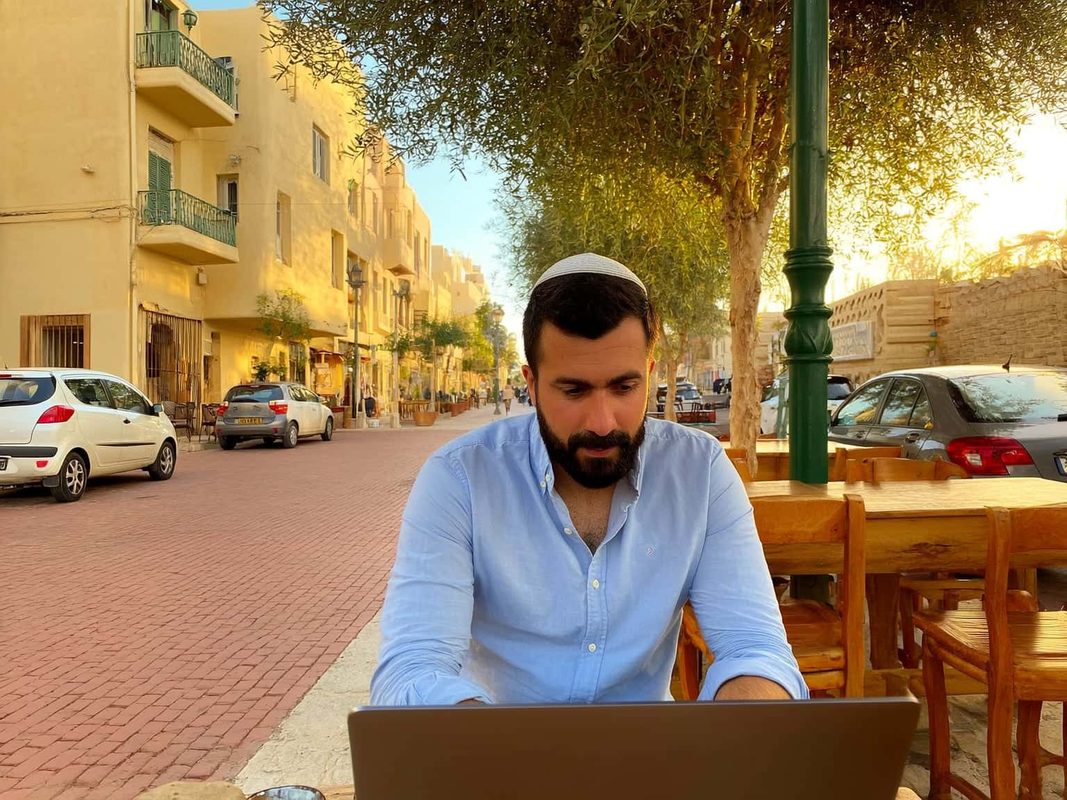
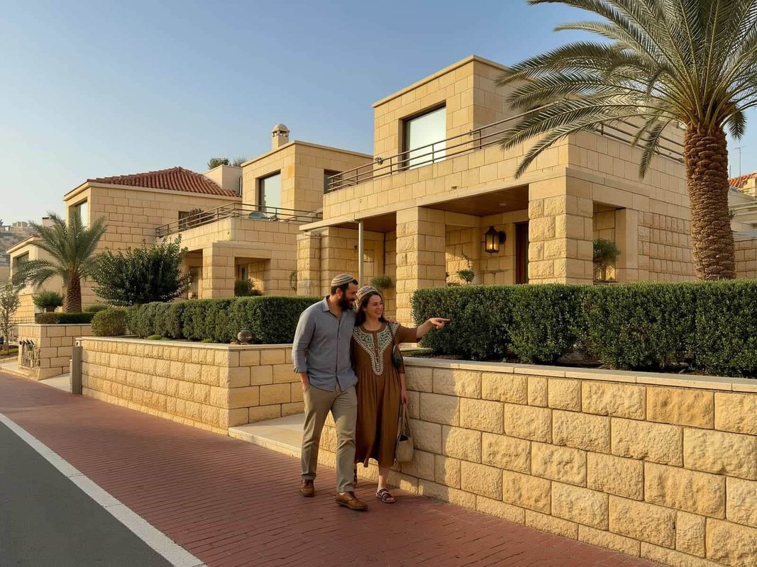
Netanya contains a range of neighbourhoods from coastal developments with apartment buildings and promenades to inland suburban districts with lower‑rise housing. Neighbourhoods vary in character, housing stock and transport access.
Ir Yamim
Location and character: Ir Yamim is a coastal neighbourhood that benefits from proximity to the beach and the cliff promenade. It is commonly associated with residential towers and newer developments.
Housing and transport: Housing tends toward apartment buildings and newer construction; public transport connections and road links make travel to central Netanya and the train station straightforward.
Who it suits: Good for people who prioritise beach access and a more urban seaside lifestyle.
Ramat Poleg
Location and character: Ramat Poleg lies toward the southern coastal edge near the Poleg stream and nature areas and mixes residential streets with open spaces.
Housing and transport: The area includes a mix of family homes and mid‑rise buildings; local roads and bus links connect it to central Netanya and nearby commerce zones.
Who it suits: Suited to families and buyers seeking proximity to natural areas without losing access to city services.
Kiryat Sanz
Location and character: Kiryat Sanz is a residential neighbourhood known for a close‑knit community feel and established housing stock.
Housing and transport: Properties are a mix of older apartments and private homes with local bus services and straightforward access to municipal amenities.
Who it suits: Appeals to residents looking for established neighbourhoods with a community atmosphere.
Kiryat Eliezer (Kiryat Eliezer Kaplan)
Location and character: Kiryat Eliezer Kaplan is one of the city’s residential quarters with practical access to schools and services.
Housing and transport: The neighbourhood contains a variety of housing types and is served by local bus routes and arterial roads.
Who it suits: A practical choice for families and commuters seeking convenience to local facilities.
Neve Itamar
Location and character: Neve Itamar is an inland residential area with a calmer residential atmosphere compared with the beachfront.
Housing and transport: Characterised by low‑ to mid‑rise housing and local street networks with bus access to central hubs.
Who it suits: Suitable for those seeking quieter, suburban living within the city.
Nof HaTayelet
Location and character: Nof HaTayelet sits along the promenade and offers direct access to coastal walking routes and views over the sea.
Housing and transport: Housing options often include apartments and developments that capitalise on proximity to the beach; transport links are oriented toward the promenade and central Netanya.
Who it suits: Ideal for residents who prioritise immediate seaside living and pedestrian access to leisure spaces.
Ramat Efraim
Location and character: Ramat Efraim is one of Netanya’s residential districts with a balanced mix of housing and local services.
Housing and transport: Offers family‑oriented housing and access to municipal facilities; connected by local bus routes.
Who it suits: Appeals to families and long‑term residents looking for stable neighbourhoods.
Givat Hairusim
Location and character: Givat Hairusim is a residential neighbourhood with local community resources and green pockets.
Housing and transport: Characteristically low‑ to mid‑rise with practical road access and public transport connections.
Who it suits: Good for people seeking moderate density and access to nearby schools.
Pardes Hagdud
Location and character: Pardes Hagdud is a residential area named after local agricultural history and offers a suburban feel.
Housing and transport: Predominantly family homes and apartment blocks, with bus services to central Netanya.
Who it suits: Appeals to families and those preferring a suburban layout within the city boundary.
Kiryat Sapir
Location and character: Kiryat Sapir is near the commercial and industrial employment areas and combines residential pockets with proximity to workplaces.
Housing and transport: Suitable for residents who work in nearby commerce zones; served by road links and buses.
Who it suits: Practical for workers and commuters who want short journeys to the city’s industrial and commercial sectors.
Kiryat Hasharon
Location and character: Kiryat Hasharon is one of the city’s residential neighbourhoods with community facilities and access to main roads.
Housing and transport: Offers a mix of housing types and solid public transport coverage to other parts of Netanya.
Who it suits: Good for residents wanting reliable municipal services and transit options.
Insider's Guide to Israel
and can't-miss places most tourists never find.
Ben Zion
Location and character: Ben Zion is an established neighbourhood combining residential streets and local commerce.
Housing and transport: The area includes older housing stock with local amenities and bus access to central areas.
Who it suits: Suited to residents who prefer mature neighbourhoods with immediate access to shops and services.
Neot Ganim
Location and character: Neot Ganim is a residential quarter with a domestic atmosphere and green spaces.
Housing and transport: Typical housing includes family homes and low‑rise blocks with municipal road and bus links.
Who it suits: Attractive to families and long‑term residents seeking quieter streets.
Agamim
Location and character: Agamim is a neighbourhood with mixed residential character and access to community facilities.
Housing and transport: Offers a range of housing and is integrated into the city’s transport network via local buses.
Who it suits: Well suited for people wanting a balanced residential environment close to services.
Neot Herzl
Location and character: Neot Herzl is another residential area within Netanya with local green spaces and services.
Housing and transport: Characterised by moderate density housing and connectivity through bus routes to central Netanya.
Who it suits: Fits residents seeking affordable and practical urban living.
Education in Netanya
Netanya hosts a full municipal network of pre‑schools, primary and secondary schools operated by the municipality. The city provides standard state and religious schooling streams in line with national education provision.
Higher education is represented locally by Netanya Academic College. The Wingate Institute, a national sports and physical education centre, lies adjacent to the city and is important for sports education and training programs. For university‑level specialisations not offered locally, residents commonly access institutions in Tel Aviv and other regional universities.
Transport and Connectivity
Netanya’s main transport connections are the Coastal Highway (Highway 2) and the Israel Railways coastal intercity line. The city is served by the Netanya Sapir railway station with regular intercity services to Tel Aviv; typical journey times to central Tel Aviv are in the order of approximately 50–55 minutes depending on the service and terminus.
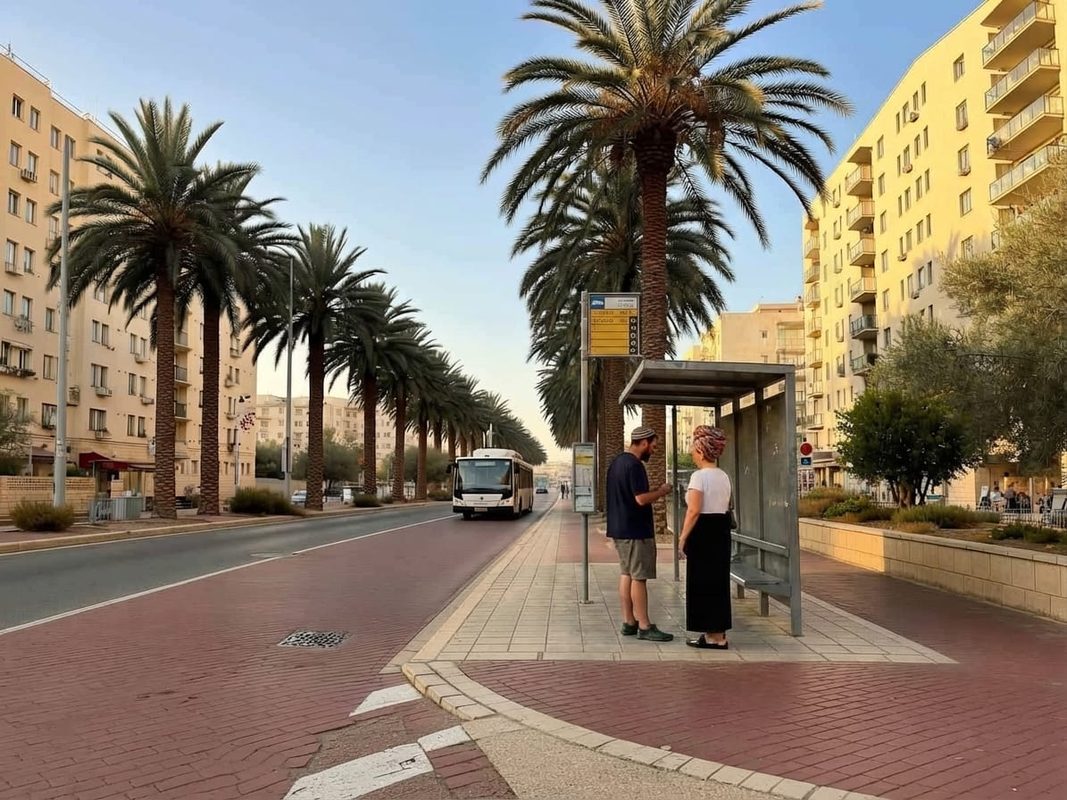
Road travel to Tel Aviv uses Highway 2 with typical driving times of approximately 30–45 minutes depending on traffic. Intercity and local bus services operated by companies such as Egged and Metropoline link Netanya to Tel Aviv, Haifa, Jerusalem and nearby towns.
Ben Gurion Airport is approximately 42 km from Netanya. Haifa lies about 56 km to the north with typical travel times by road around an hour. While many daily needs are accessible within the city, some residents continue to rely on private cars for convenience; however, public transport and rail allow commuter options without exclusive dependence on a car for routine travel.
Nature and Outdoor Spaces
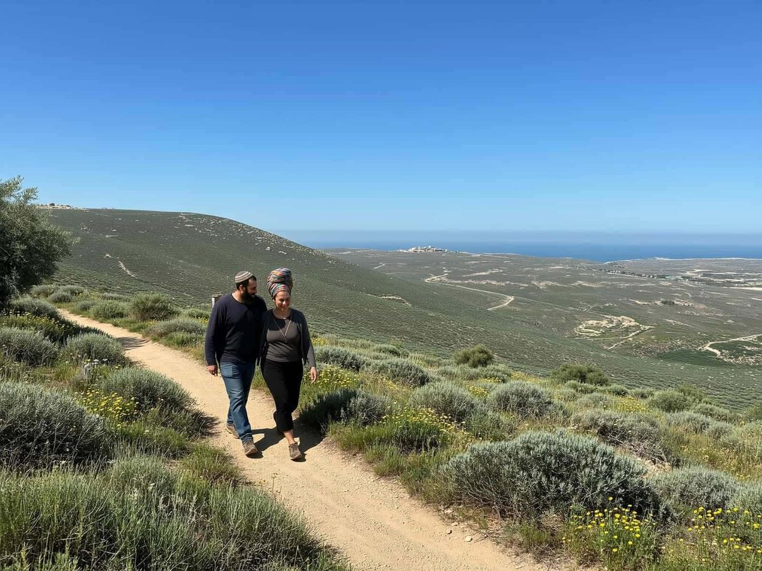
Netanya’s coastal setting provides sandy beaches, a cliff promenade and public beachfronts that are central to daily life and recreation. The city’s cliff promenade is a popular walking and cycling route offering sea views.
Natural sites of note include the Poleg Nature Reserve, the Poleg stream and seasonal vernal pools that support the local iris population (the Iris/Dora vernal pool area). These features reflect remnants of the historical Forest of Sharon and offer short nature excursions within or close to the urban area.
Amenities and Things to Do in Netanya
Key amenities include the Netanya Beach Promenade and coastal leisure facilities, the Netanya Museum (The Well House) and municipal sports infrastructure such as Netanya Stadium and the nearby Wingate Institute. The Pinchas Sapir industrial and commerce area serves as a local employment and commercial hub.
Shopping and daily services are provided by central commercial streets and local shopping centres; healthcare needs are covered by municipal healthcare facilities and clinics available in the city. Dining options range from seaside cafes along the promenade to restaurants and markets that reflect the city’s diverse population and immigrant communities.
Seasonal tourism increases activity on the coast and in central leisure areas, while year‑round sports and cultural programming at municipal venues and the Wingate Institute contribute to local life.
Cities and Towns Near Netanya
Netanya sits within a network of coastal and inland towns that are reachable within short driving times, making regional travel straightforward for work, education and leisure.
Nearby towns and cities include Hadera, Herzliya and Kfar Saba, all within roughly 15–25 minutes by car under normal traffic conditions; Haifa is further north at about an hour’s drive.
Nearby cities and towns: Hadera — 13 km, approx. 15 min; Herzliya — 18 km, approx. 25 min; Kfar Saba — 18 km, approx. 25 min; Haifa — 56 km, approx. 60 min.
Advantages of Living in Netanya
Coastal lifestyle: Direct access to beaches and the cliff promenade provides daily outdoor and leisure options.
Good regional connectivity: Highway 2 and the Israel Railways coastal line make commuting to Tel Aviv and other coastal cities practical.
Range of neighbourhoods: A variety of residential areas suit families, retirees and seaside residents alike.
Local education and sports facilities: Netanya Academic College and the adjacent Wingate Institute supply higher education and sports training resources.
Municipal services and commerce: Local healthcare, schools and the Pinchas Sapir commerce area support everyday needs and employment.
Things to Consider Before Moving to Netanya
Seasonal tourism: Coastal popularity means busier periods during holiday seasons which can affect traffic and local amenity availability.
Transport variation: While rail and buses provide options, some journeys—especially off‑peak or to specific services—may still be easier by car depending on exact origin and destination.
Housing market dynamics: As a regional centre with varied neighbourhoods, availability and inventory can fluctuate; prospective movers should research current listings and municipal plans.
Who Is Netanya Best For?
Families
Netanya offers family‑oriented neighbourhoods, municipal schooling and parks that make it a practical choice for households with children.
Commuters
Commuters who need regular access to Tel Aviv or other coastal cities benefit from the highway and rail connections, with typical rail journeys to Tel Aviv in the order of 50–55 minutes.
Young Professionals
Young professionals who want more living space than denser centres but still require regional connectivity can find Netanya a good compromise between seaside life and access to employment hubs.
Students
Students can base themselves in Netanya to use Netanya Academic College or access specialist sports education at the Wingate Institute, while still being within reach of larger university options in Tel Aviv.
Retirees
Retirees may appreciate the relaxed coastal lifestyle, local healthcare access and community services that support a quieter pace of life.
