
Kiryat Motzkin Area Guide
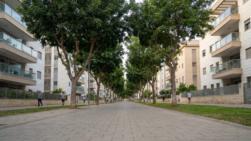

Kiryat Motzkin is a suburban city north of Haifa with convenient rail and road links and a family-oriented atmosphere. This guide covers what living in Kiryat Motzkin is like, its history, services and transport in Israel.
Kiryat Motzkin at a Glance
City: Kiryat Motzkin • Country: Israel • District: Haifa • Population: 51350 • Area: 3.8 • Nearest major city: Haifa • Distance: 8 km • Main transport connection: Israel Railways coastal line (Kiryat Motzkin station) supplemented by Road 4 / Highway 2 and the Krayot Central Bus Station (Metronit and local bus services) • Known for: Part of the Krayot cluster north of Haifa; a commuter/suburban city with a central Israel Railways station; named after Leo (Aryeh Leib) Motzkin; municipal history museum (Beit Garushkewitz) and local commercial centre (Lev Motzkin). • Historic origins: Modern town founded 9 October 1934 on low-lying plain land in the Zevulun (Zebulun) Valley; the immediate site was not a major ancient settlement though the wider Haifa Bay / Zebulun plain contains multi-period archaeological sites.
Insider's Guide to Israel
and can't-miss places most tourists never find.

Where Is Kiryat Motzkin?
Kiryat Motzkin sits in the Haifa District on the coastal plain just inland from Haifa Bay. The city is part of the Krayot cluster of towns that form a suburban ring to the north of Haifa.
Its nearest significant neighbour is the city of Haifa, approximately 8 kilometres to the south; other nearby municipalities in the Krayot area include Kiryat Bialik, Kiryat Yam and Kiryat Ata. The town occupies a compact footprint on gently sloping plain land in the Zebulun (Zevulun) Valley and lies inland rather than on the coastline.
History of Kiryat Motzkin
Modern Kiryat Motzkin was founded on 9 October 1934 during the British Mandate period as part of the interwar Zionist settlement movement. The local council was established in 1940 and municipal development continued after the establishment of the State of Israel.
The area’s broader history reflects several recognised historical periods: Ottoman rule before 1917; the British Mandate and interwar Jewish settlement when Kiryat Motzkin was established; the 1947–1949 War of Independence with operations and fighting in the Haifa area; and development under the State of Israel that led to city status in 1976 and ongoing urban renewal since then.
Although the wider Haifa Bay and Zebulun plain contain multi-period archaeological sites (for example Afek/Tel Aphek and nearby ancient Usha), the immediate site of modern Kiryat Motzkin was not a major ancient settlement and the modern town is a 20th-century foundation rather than an ancient city.
Kiryat Motzkin Population
As of 2023 the population of Kiryat Motzkin is 51,350. The city covers about 3.8 square kilometres, making it relatively dense compared with larger suburban municipalities but compact in area.
Population reporting in municipal and national sources shows Kiryat Motzkin as a mid-sized city within the Haifa District and part of the Krayot cluster; local demographic trends have reflected steady municipal development, with the majority of residents commuting to regional employment centres or using Haifa’s services for specialised needs.
What Is It Like to Live in Kiryat Motzkin?
Living in Kiryat Motzkin combines a suburban pace with direct connections to Haifa and the coastal rail corridor. The city functions as a commuter and family-oriented municipality: it offers local shopping and essential services while larger hospitals, cultural institutions and big-box retail are available nearby in Haifa.
Infrastructure and services include a municipal library, community facilities and local medical services, with specialised healthcare and wider cultural choices reachable in Haifa. Public transport is anchored by the Kiryat Motzkin railway station and a local bus network centred on the Krayot Central Bus Station and Metronit routes.
Green spaces and easy access to regional natural features such as the Kishon corridor and Mount Carmel parks provide opportunities for outdoor activity without leaving the local area. Overall the city suits people seeking a practical suburban base with good regional connectivity and a community-minded environment.

Areas and Neighbourhoods in Kiryat Motzkin
Kiryat Motzkin is compact and made up of several identifiable neighbourhoods, from older cores to newer housing estates and mixed-use sections. The list below sets out the commonly used neighbourhood names and a cautious description of their general character based on municipal usage and local planning references.
Motskin Ha’atikah (Old Motzkin)
Location and character: The older part of the town where the earliest municipal development took place. Streets in this area reflect the earlier phases of 20th-century building.
Housing and transport: Typically lower-rise housing with local shops and services within walking distance; public transport links are available to the rest of the city and to the nearby railway station.
Who it suits: Residents who prefer an established neighbourhood with a sense of local history and shorter walks to municipal facilities.
Motskin Ha’tzeira (New Motzkin)
Location and character: Areas developed later than the original core, with a more recent street layout and housing stock.
Housing and transport: Mix of family homes and apartment buildings with access to local bus routes; convenient for residents seeking slightly newer residential options within the city.
Who it suits: Families and buyers looking for more modern housing while remaining close to central services.
Lev Motzkin (commercial / high-rise area)
Location and character: The commercial heart referenced as Lev Motzkin, which includes the main local shopping and service centre.
Housing and transport: Contains higher-density and mixed-use development; close to main roads and public transport nodes making it a focal point for shopping and commuting.
Who it suits: People who want immediate access to retail, municipal services and stronger public transport links.
Neve Ganim
Location and character: A residential neighbourhood within the municipal boundaries known by its neighborhood name.
Housing and transport: Primarily residential in character with local amenities and bus access; falls within easy reach of central Kiryat Motzkin facilities.
Who it suits: Households seeking a conventional suburban residential environment.
Rasko / Amidar shikunim
Location and character: An area named in municipal sources that includes social housing stock historically associated with public housing programmes.
Housing and transport: Typically denser apartment blocks; served by local buses and within city walking distance of shops and community services.
Who it suits: Residents looking for more affordable housing options and established community networks.
Shikun Czech (Czech housing)
Location and character: A distinct neighbourhood identified by its historical name and residential character.
Housing and transport: Largely residential with local-scale amenities; public transport connections link it to the wider Krayot network.
Who it suits: Those seeking a neighbourhood with a straightforward residential profile and local community ties.
Pentagon
Location and character: A locally named area within the urban fabric of Kiryat Motzkin.
Housing and transport: Residential character with access to the city’s roads and bus services; close enough to central facilities to use everyday services without long journeys.
Who it suits: Residents wanting practical proximity to local commerce and municipal services.
Insider's Guide to Israel
and can't-miss places most tourists never find.
Mishkenot Omanim (Artists’ quarter)
Location and character: An area whose name indicates an artists’ or craft-focused identity in municipal listings.
Housing and transport: Mixed residential uses and local creative or community spaces; reachable via local roads and public transport.
Who it suits: People attracted to neighbourhoods with creative activities or community-oriented projects.
Education in Kiryat Motzkin
Education provision in Kiryat Motzkin comprises municipal schools across primary and secondary levels. Municipal and CBS data for 2022/23 list approximately 15 schools serving about 7,680 students.
Secondary schools in the city report high-school matriculation eligibility rates above 90% in recent summaries (about 91.1% reported in municipal and public summaries). For higher education, students typically travel to nearby Haifa, which hosts major institutions such as the University of Haifa and the Technion—both reachable by public transport from Kiryat Motzkin.
Transport and Connectivity
Kiryat Motzkin’s transport network is centred on the Kiryat Motzkin railway station on Israel Railways’ coastal line, providing direct services south along the coast. Train services offer direct connections toward Tel Aviv termini with a typical journey time to Tel Aviv of about 1 hour 45–1 hour 55 minutes depending on service and stops.
Road access is via the regional network that connects through Haifa and the Krayot area, with main routes including Road 4 and Highway 2 (the Coastal Highway). Driving distance to Tel Aviv is approximately 109–111 km and typically takes around 1 hour 20–1 hour 40 depending on traffic conditions.
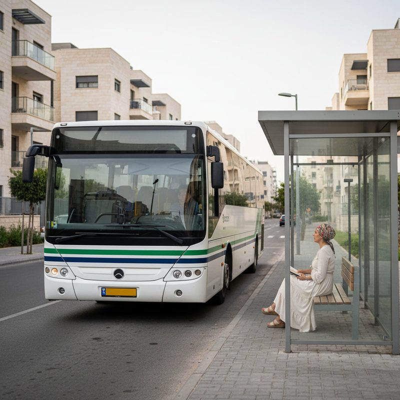
Local and intercity bus services operate from the Krayot Central Bus Station at the edge of the municipality; the Metronit BRT and local buses provide cross-krayot connectivity. Ben Gurion Airport is approximately 111 km by road. While some daily needs can be managed on foot or by short bus rides within the city, many residents use public transport or a car for regional commuting.
Nature and Outdoor Spaces
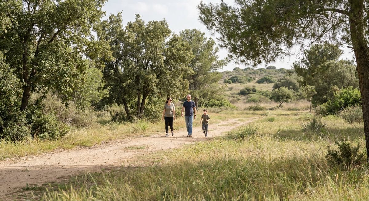
Kiryat Motzkin is set on the Zebulun (Zevulun) Valley plain and includes urban parks and green spaces for recreational use. The municipal area itself lies inland and does not include coastline, but nearby regional natural features such as the Kishon corridor and Mount Carmel nature areas are accessible for longer outdoor excursions.
Parks and tree-lined streets within the city provide daily outdoor options for families, joggers and walkers, while the proximity to the larger Haifa Bay landscape makes weekend nature trips straightforward for residents.

Amenities and Things to Do in Kiryat Motzkin
The city’s focal points include the Lev Motzkin commercial centre for shopping and everyday services, the Simcha Miller Municipal Library and local cultural touchpoints such as Beit Garushkewitz — the municipal history museum and archive. These places serve residents’ cultural and civic needs.
Healthcare is available locally for primary care, with more specialised and hospital services located in Haifa. Dining and retail options cover daily needs and modest restaurant choices; for a wider range of leisure, entertainment and larger shopping trips, residents commonly travel to Haifa.
Local landmarks include the Kiryat Motzkin railway station and community squares such as Mozart Junction / Pianist Square that act as neighbourhood meeting points. Sports facilities, parks and community centres support recreational activity and organised local clubs.
Cities and Towns Near Kiryat Motzkin
Kiryat Motzkin is surrounded by several neighbouring towns that together form the Krayot sub-region north of Haifa. These nearby cities are within short driving or public-transport distances and provide additional services and commuting options.
Nearby cities and towns: Haifa — 8 km, approx. 15 min; Kiryat Bialik — 1.3 km, approx. 5 min; Kiryat Yam — 1.6 km, approx. 7 min; Kiryat Ata — 5 km, approx. 10 min; Nesher — 10 km, approx. 15 min.
Advantages of Living in Kiryat Motzkin
Strong regional connectivity: The Israel Railways coastal line station and nearby highways make commuting to Haifa and along the coast relatively straightforward.
Family-friendly environment: The city offers municipal schools, parks and community services that suit family life.
Compact, walkable municipal centre: Lev Motzkin and local shopping areas make everyday errands convenient for residents.
Access to nature: Proximity to the Kishon corridor and Mount Carmel areas provides routes for outdoor activities and weekend escapes.
Things to Consider Before Moving to Kiryat Motzkin
Limited local specialty services: While essential services are available, some specialised medical care, higher-level cultural institutions and larger retail centres are located in nearby Haifa and require travel.
Density and space constraints: The city is compact (about 3.8 km2) and therefore has a relatively dense urban pattern compared with more sprawling suburban municipalities, which can limit large private garden options.
Commuting trade-offs: Many residents commute to Haifa or further south; depending on work location and transport choices this can add daily travel time.
Who Is Kiryat Motzkin Best For?
Families
Families benefit from local schools, parks and a community-oriented environment with good access to Haifa for additional services.
Commuters
Commuters who travel along the coastal corridor will find the railway station and highway connections convenient for regional work destinations.
Young Professionals
Young professionals who want a suburban base with reliable transport links to Haifa and Tel Aviv can use Kiryat Motzkin as a practical home location.
Students
Students attending institutions in Haifa can live in Kiryat Motzkin and commute by train or bus to the University of Haifa and the Technion.
Retirees
Retirees seeking a quieter urban environment with municipal services nearby and easy access to regional medical facilities in Haifa may find the city appropriate.
