
Safed Area Guide
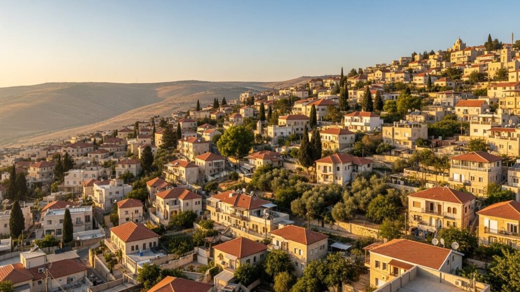

Safed is a hilltop city in the Galilee, known for historic synagogues, an artists’ quarter and its association with Jewish mysticism. This guide describes daily life in Safed, practical transport and education information, and nearby towns and services in Israel. The city also hosts regular gallery events, markets and religious gatherings that contribute to its local community life.
Safed at a Glance
City: Safed • Country: Israel • District: Northern • Population: 37801 • Nearest major city: Haifa • Distance: 51 km • Main transport connection: Intercity bus (central bus station); nearest rail connections via Karmiel, Ahihud or Acre/Akko • Known for: Center of Jewish mysticism and Kabbalah, historic synagogues, artists’ quarter, hilltop Galilean views • Historic origins: Traditionally identified with the fortified town Sepph mentioned by Josephus; the site also appears in rabbinic and medieval sources. These are traditional attributions rather than precise archaeological datings.
Insider's Guide to Israel
and can't-miss places most tourists never find.

Where Is Safed?
Safed sits on upland terrain in the Upper Galilee in Israel’s Northern District. The city occupies a hilltop position overlooking nearby Galilean hills and, in clear weather, has views toward the Sea of Galilee.
Safed neighbours a number of Galilean towns and regional centres. Tiberias lies to the southeast and Nazareth to the southwest. Acre (Akko) and Haifa are west on lower coastal terrain. The nearest major coastal city is Haifa; Tiberias is closer and commonly used for local services.
History of Safed
The site of Safed has long-standing traditional associations with an ancient place called Sepph; Josephus and later rabbinic texts refer to it as a prominent elevated place. Medieval sources document settlement activity at the site through Byzantine and early Islamic periods.
Safed shows traces of occupation in several historic phases, including the Crusader, Mamluk and Ottoman periods. The modern municipal form developed through late Ottoman and early 20th-century changes under British administration and subsequent decades, which shaped today’s urban layout and population.
Safed Population
The recorded population of Safed was 37,801 in 2022. For detailed population trends and official statistics, consult municipal or national statistical publications.
What Is It Like to Live in Safed?
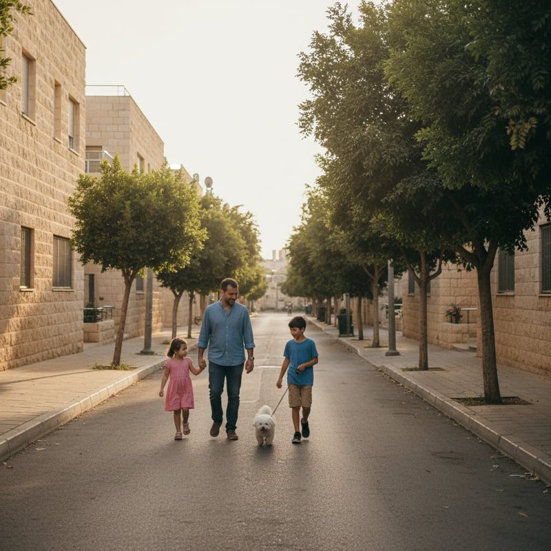
Life in Safed tends toward a moderate pace with a strong local community feel. The Old City and its synagogues form a historic core. Residential neighbourhoods and newer developments occupy the surrounding slopes.
Everyday services are available in the city. There is a central bus station with intercity services, local schools and healthcare facilities. Ziv Medical Center serves the area and higher-education institutions are present in town. For some specialised shopping and cultural options, residents travel to nearby regional centres.
Transport is mainly by road and bus; there is no direct railway station in Safed. The setting gives access to trails, lookout points and nearby upland nature for walking and weekend recreation. Local markets, gallery openings and community events bring people together and add to the city’s active street life.
The city suits people who prioritise community life, cultural history and proximity to upland nature rather than a fast-paced metropolitan environment.
Areas and Neighbourhoods in Safed
Safed’s neighbourhoods reflect its layered history and the varied character of its townscape, from a compact historic centre to more modern residential enclaves.
Old City / the historic Jewish quarter
Location and character: The Old City is the historic core on the hilltop, with narrow lanes, stone buildings and several historic synagogues that concentrate cultural and religious life.
Housing and transport: Housing ranges from older stone structures to restored units used by residents and visitors. Streets are pedestrian-friendly in parts, while vehicle access is limited by the layout. This area suits those seeking proximity to Safed’s historic sites.
Kiryat HaOmanim (Artists’ Quarter)
Location and character: Kiryat HaOmanim is known for galleries, studios and a visible creative community. Cultural events and gallery activity are focal points here.
Housing and transport: Residential buildings and studio spaces mix in this quarter. It appeals to artists and residents who prioritise cultural life and a short walk to the Old City. Public transport access is similar to other central parts of Safed.
Knaan neighborhood
Location and character: Knaan is one of Safed’s residential neighbourhoods and reflects typical urban housing patterns outside the historic core.
Housing and transport: Housing tends toward apartment blocks and family dwellings. Road access and local bus routes serve daily travel; the neighbourhood suits families seeking standard municipal services close to the centre.
Southern neighborhoods
Location and character: The southern districts include a mix of established and developing residential areas extending downslope from the heights.
Housing and transport: These neighbourhoods generally provide larger residential plots and family homes compared with the Old City. Road connections are straightforward and bus services link residents to the central bus station.
Mitzpe HaYamim / Mitzpe area (overlook and development zones)
Location and character: Development and overlook zones such as Mitzpe HaYamim are sited on higher ground or at the edges of the built area, with panoramic views across the Galilee and toward the Sea of Galilee.
Housing and transport: Properties here often emphasize outlook and private outdoor space. Road access is the norm; these areas suit buyers and residents who value views and proximity to natural trailheads.
Education in Safed
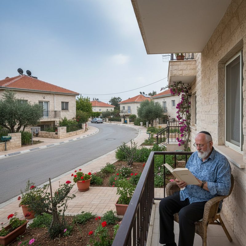
Safed has local primary and secondary schools that serve the municipal population and nearby communities. Higher-education options in town include Zefat Academic College and a medical faculty campus affiliated with Bar-Ilan University. These institutions also have clinical training links with local healthcare facilities.
Students seeking a broader university experience commonly travel to larger institutions in Haifa or central Israel. Local colleges cover many undergraduate and professional programmes and contribute to the city’s academic and healthcare profiles.
Transport and Connectivity
Safed’s main transport links are by road and intercity bus. The city has a central bus station with services connecting to Tiberias, Haifa, Nazareth, Tel Aviv and other Galilee towns; operators include national and regional carriers.
Insider's Guide to Israel
and can't-miss places most tourists never find.
There is no direct Israel Railways line to Safed. Travellers use bus or taxi connections to the nearest stations in Karmiel, Ahihud or on the coastal line at Akko/Acre, and continue by train via Haifa.
Road journeys to central Israel take longer than trips from coastal cities and can be several hours depending on destination and traffic. Ben-Gurion Airport is reached by a multi-hour drive from Safed.
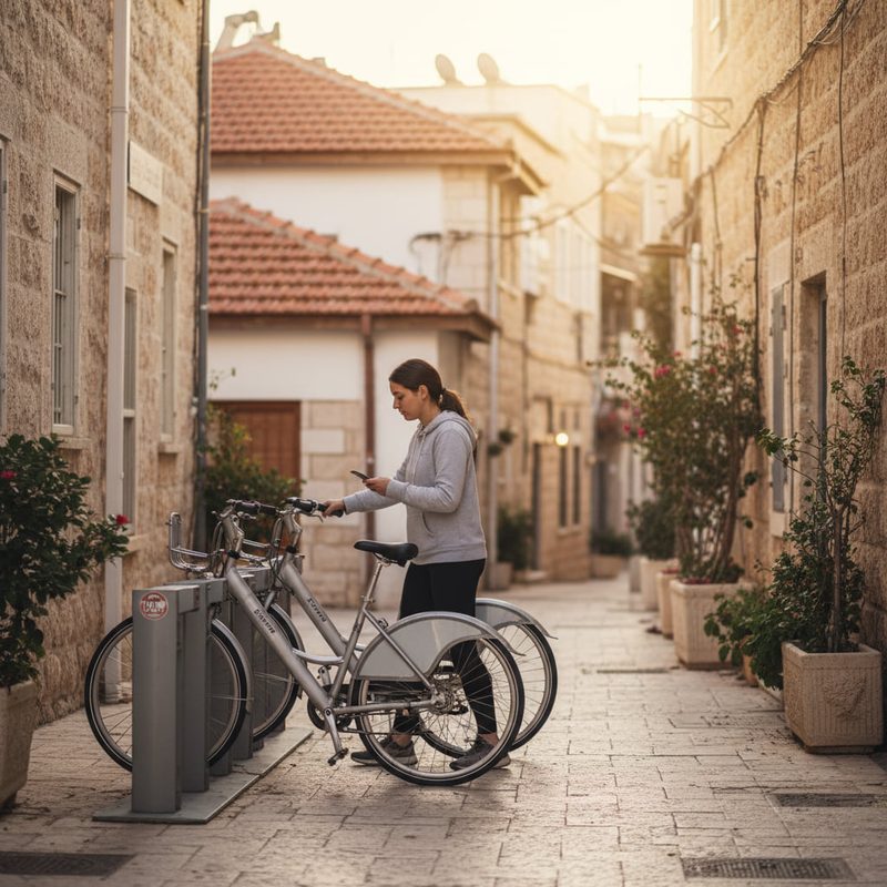
Car-free living is possible for many daily needs in the city centre because of walkable areas and local buses. For commuting, accessing wider regional services or frequent travel, many households find a private car useful.
Nature and Outdoor Spaces
Safed occupies upland terrain in the Galilee and includes some of the higher parts of the region. The setting provides panoramic viewpoints over surrounding hills and toward the Sea of Galilee.
Nearby natural attractions include Mount Meron and a number of nature reserves and marked trails. The upland location makes Safed a practical base for hiking, birdwatching and seasonal outdoor recreation. Public lookout points and trails around the municipal edges are accessible from many neighbourhoods.
Amenities and Things to Do in Safed
Safed’s cultural life centers on its Old City and historic synagogues such as the Abuhav and Ari Ashkenazi synagogues, and on the Artists’ Quarter where galleries and studios operate. The Safed Citadel and other historic sites also draw interest.
Daily amenities include local shops and restaurants around the centre and in neighbourhood hubs. For a broader range of shops, services and entertainment, residents sometimes travel to nearby towns. Local and regional healthcare services support residents, and cultural programming, gallery events and markets are regular features of community life.
Cities and Towns Near Safed
Safed is part of a cluster of Galilean towns and cities that residents use for commerce, healthcare and education. Nearby regional centres include Tiberias, Kiryat Shmona, Nazareth, Acre (Akko) and Haifa, which offer specialised services and wider transport links.
Nearby cities and towns: Tiberias — 19 km, approx. 30 min; Kiryat Shmona — 28 km, approx. 35 min; Nazareth — 35 km, approx. 45 min; Acre (Akko) — 40 km, approx. 60 min; Haifa — 51 km, approx. 75 min.
Advantages of Living in Safed
Hilltop setting and views: The city’s upland position brings cooler temperatures and wide outlooks across the Galilee and toward the Sea of Galilee.
Cultural and historic life: Strong associations with Jewish mysticism, well-known historic synagogues and an active Artists’ Quarter support a distinct cultural profile and year-round activity.
Local education and healthcare: Presence of Zefat Academic College, a medical faculty campus and local clinical facilities provide educational and medical anchors for the city and region.
Access to nature: Proximity to trails, Mount Meron and nature reserves offers straightforward options for outdoor recreation.
Things to Consider Before Moving to Safed
Limited direct rail access and longer drives to larger metropolitan centres: Safed has no direct railway station; the nearest rail connections require a bus or taxi transfer.
Selective local amenities: Everyday needs are met locally, but some specialist services and wider retail choices are more readily available in regional hubs such as Tiberias or Haifa.
Seasonal weather and topography: The upland location affects weather and winter conditions. Hilly terrain means some neighbourhoods have steep streets and may be less convenient for mobility-restricted residents.
Who Is Safed Best For?
Families
Safed suits families who value a community atmosphere, local schools and access to outdoor space. Neighbourhoods offer family-oriented housing and a quieter pace compared with larger urban centres.
Commuters
Commuters to nearby Galilean centres such as Tiberias or Haifa can manage daily travel by road, though longer journeys to central Israel require planning. Many residents use a car for regional mobility.
Students
Students at Zefat Academic College and the local medical faculty can find study and clinical training options in town; broader university study often involves travel to larger institutions outside Safed.
Retirees
Retirees seeking a quieter lifestyle with cultural activities, accessible healthcare services and nearby walks may appreciate Safed’s relaxed pace and scenic environment.
